The Rhinogydd (a Welsh plural form, often anglicised as Rhinogs and also known by the alternative Welsh plural Rhinogau) are a range of mountains located east of Harlech in North Wales. The name Rhinogydd derives from the names of two of the more famous peaks, Rhinog Fawr and Rhinog Fach, although the greatest elevation in the range is reached by Y Llethr, 756 m.


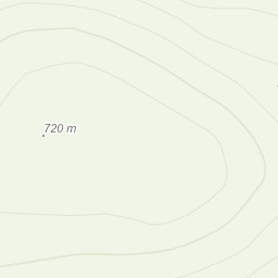
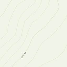
 St.629342 follow track/path to Llyn Du then head North to Moel Ysgyfarnogod (623m) then continue North to Foel Penolau (614m). Take both spot heights then return to track/path via Llyn Dywarchen. Follow track/path back to car park.