Jason Till - 107839

logs 1,082
Member Of

Walking Record

Details

Date : 21/04/2005

Duration : 5-8 hours

Style : Leader / Supervisor

Type : Quality Mountain Day (QMD)

Weather : Partially Cloudy

Wind : Moderate Wind

Camping Type :

Nights Camping : 0

Mountains : Arenig Fawr

Flagged :

Description

Children/Staff.
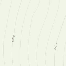
Corvedale CareSt.845395 follow path to Llyn Arenig Fawr up spur to spot height 684 follow path to summit of Arenig Fawr. Descend west side of mountain and pick up Amnodd-Wen follow footpath to start point.Lots of motivation. Hard nav on top

Area : Arenigiau Range

Ofter refered to as Arenigs, which is an informal term for a group of mountains in central Snowdonia, in north Wales.

Location

Marker
Leaflet Tiles © Esri — Esri, DeLorme, NAVTEQ, TomTom, Intermap, iPC, USGS, FAO, NPS, NRCAN, GeoBase, Kadaster NL, Ordnance Survey, Esri Japan, METI, Esri China (Hong Kong), and the GIS User Community
Loading