You have got JavaScript turned off. Many features of this website may not work. Please turn JavaScript on for an optimal experience.
Toggle navigation
Providers
Courses
Workshops
Shop
Contact
Sign-Up
Log in
Steve Gray
- 130898
logs
159
Awards Completed
IML
MLW
ML
Member Of
Details
Records
Photos
Schemes
CPD
Files
Referees
Back to List
International Trekking Record
My DLOG
Details
Date :
21/08/2008
Duration :
5-8 hours
Style :
Leader / Supervisor
Type :
International Summer Quality Mountain Day
Weather :
Partially cloudy
Wind :
Gentle breeze
Camping Type :
Nights Camping :
0
Mountains :
Flagged :
Description
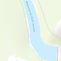
Ecrins Nat. Park
Sommet de l'Eychauda 2659m
Start from Chambran to Col de la Pisse then onto summit. Return via summit ridge to Col de Frejas then GR54 back to Chambran
Area :
France
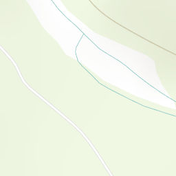
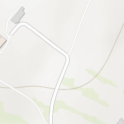
Location
+
−
Leaflet
|
Tiles © Esri — Esri, DeLorme, NAVTEQ, TomTom, Intermap, iPC, USGS, FAO, NPS, NRCAN, GeoBase, Kadaster NL, Ordnance Survey, Esri Japan, METI, Esri China (Hong Kong), and the GIS User Community
OS Maps are only available to premium members. Click
here
to learn about premium accounts.
×
Confirm
Are you sure?
Loading
×
We use cookies to make sure that we give you the best experience possible on our website. Without cookies this website would not function properly.
To understand more about cookies please click here


 Ecrins Nat. Park