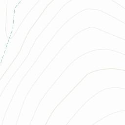
St @ Cross keys Inn & walk to Cautley Spout. At top walk up hill to The Calf (676) then head to Bram Rigg Top (672) & then Calders (674). Head down right of Cautley Crag back to start point.
Area :The Howgills
The Howgill Fells are hills in Northern England between the Lake District and the Yorkshire Dales, lying roughly in between the vertices of a triangle made by the towns of Sedbergh, Kirkby Stephen and Tebay.


 St @ Cross keys Inn & walk to Cautley Spout. At top walk up hill to The Calf (676) then head to Bram Rigg Top (672) & then Calders (674). Head down right of Cautley Crag back to start point.