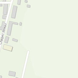
working with a team remotely supervising 9 dofe groups. routes made their way from summer close near kettleshume to gradbach scout campsite
Area :White Peak
Lies to the south of the Dark Peak where the underlying rock is limestone - hence the name. Tends to be a little lower in altitude and also may be known as the Derbyshire or Staffordshire Dales.


 working with a team remotely supervising 9 dofe groups. routes made their way from summer close near kettleshume to gradbach scout campsite