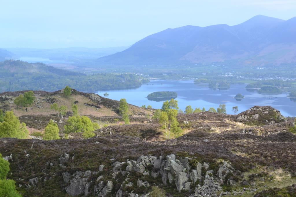
Starting around 7.30am from the National Trust Car Park at Surprise View, Keswick, I noted a rather nice cloud inversion beneath Skiddaw before I headed South through Ashness Wood along a well defined footpath to the footbridge at NY269182, where I crossed the river and headed South beside Watendlath Beck, to the village of the same name. I saw a red doe along the way. From the village I headed up to Black Waugh and Joppletyhow Moss, where I made my way along pathless moorland, avoiding areas of bog, to Ether Knott. I saw two more red deer here. The weather turned very warm and hazy at this point and I made my way back the same way I had arrived. It was a beautiful fell with lots of gorgeous heather. Trees in the woodland included Oak and Sycamore.
Area :
Central Fells
The Vale of Keswick, provides separation from the Northern Fells whilst to the west runs the long valley of Borrowdale. The parallel eastern boundary is created by Thirlmere and the St Johns in the Vale. Grasmere to Windermere forms the remainder of the eastern boundary. In the west, Stake Pass descends into Great Langdale.