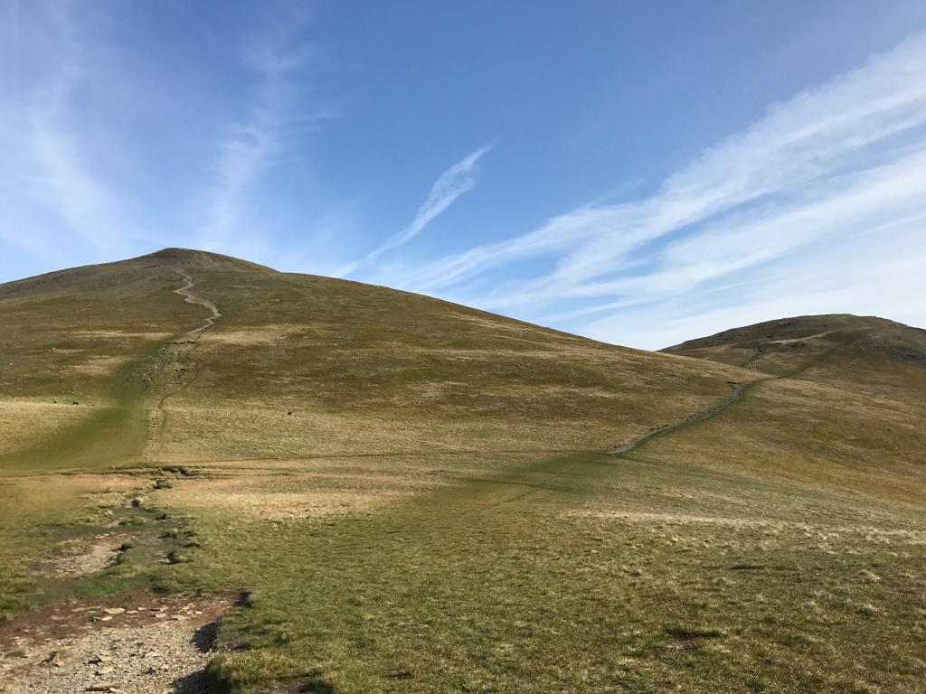
This day was a glorious day with an equally glorious forecast, so I headed out to the Buttermere valley to see the Rannerdale Bluebells. I began from the car park at NY158208 and headed NE towards Whin Ben. Instead of climbing this, however, I headed along the path which runs alongside Liza Beck. There were a couple of places where I had to climb over some large boulders to follow the footpath. It was a very quiet path alongside the Beck, and I followed this via Gasgale Gill to Coledale Hause. On the final push there were some badly eroded parts of the path, which were probably washed away by the winter storms. From Coledale Hause, I headed South and followed the path to Whiteless Edge and Whiteless Pike. I saw a bird, which I guessed to be a Ring Ouzel, but I couldn’t be certain. It had a strange call and a white patch on its chest. Continuing, I headed down the steep footpath and across Whiteless Breast, turning North here to join the popular path through Rannerdale, where I took some time to admire the lovely Bluebells from the footpath. A rope had been put up to stop people from trampling these near the gate. Bluebells are an endangered species but still many people had been trampling on them to take photos of their children sitting amongst them. This causes long term damage. I remember it was very hot by this time and I continued to head North along the moorland beside the road, to return to the car, admiring the spectacular views across Crummock Water along the way.
Area :
North Western Fells
Essentially this area is encompassed by Lakes of Bassenthwaite, Derwent Water, Buttermere and Crummock Water with the southern boundary being the Honister Pass