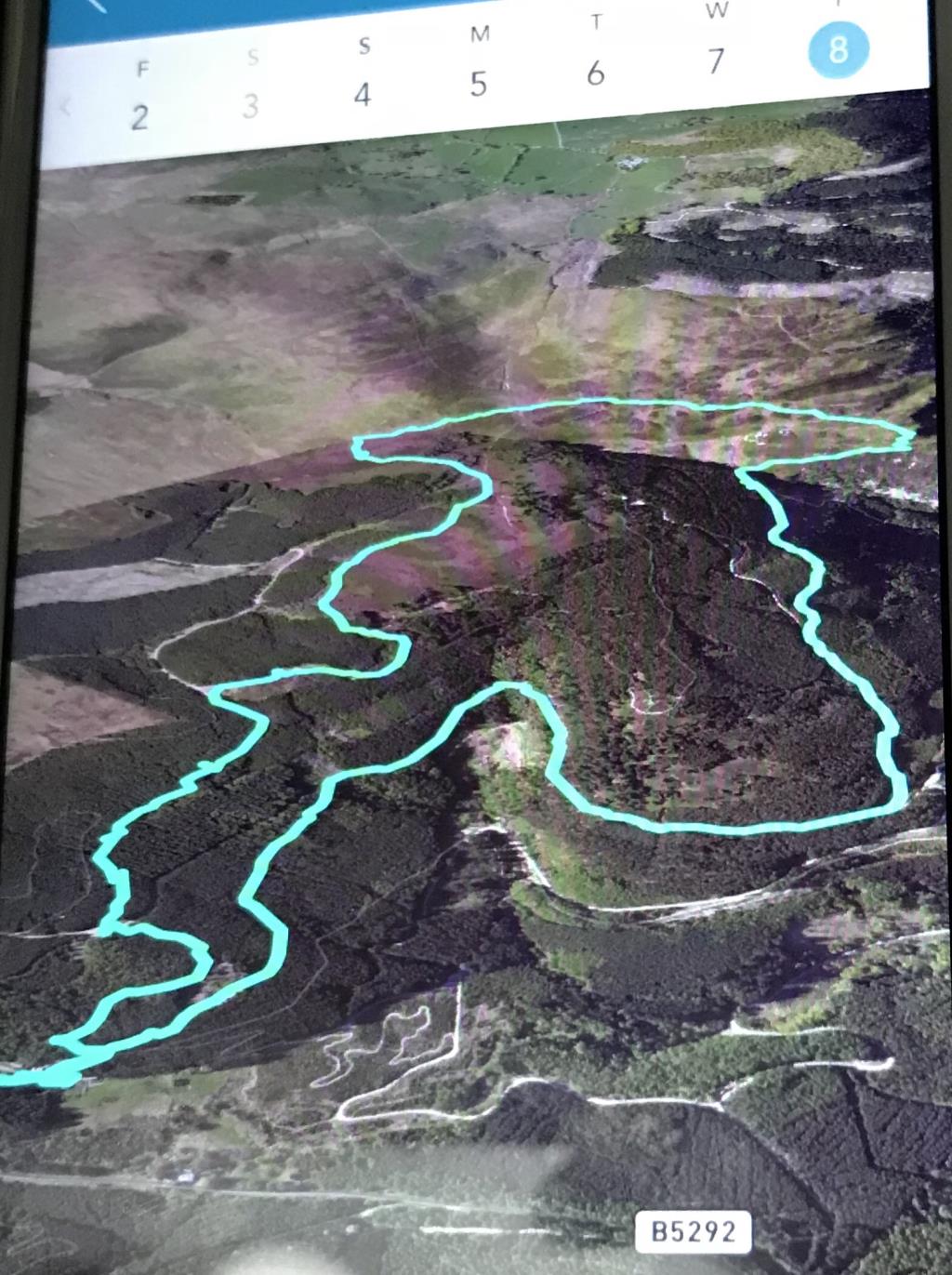
I decided to head over to Barf today as it is one of the Birketts I haven’t done before. I started from the visitor centre and after trying to photograph a red squirrel perched in a tree I headed North using only my paper map for guidance, along a forest track, passing a carved wooden owl, to Black Gill at NY209253, and followed this track past Comb Gill and Thwaitehill Knotts, past the green signpost for the Seat How track, to a junction at NY215259. I followed this track gently downhill, to Birch Crag, where there were some good views over Bassenthwaite lake to Skiddaw, which was cloaked in cloud. I crossed a stile and Beckstones Gill, which was flowing fast after recent rainfall. I climbed the path to the summit of Barf, which would have had far reaching views had the weather been kinder. There was a moderate breeze blowing here. I followed a thin trail West, which was very boggy in places. The weather looked to be closing in so I skirted underneath Lord’s Seat (having recently climbed this fell!) and crossed the stile at NY204264, heading South along the footpath to rejoin the forest track below Ullister Hill. I continued South through Thornthwaite Forest, passing the Gruffalo, and continued down the green trail past the children’s play area and back to the visitor centre.
Area :
North Western Fells
Essentially this area is encompassed by Lakes of Bassenthwaite, Derwent Water, Buttermere and Crummock Water with the southern boundary being the Honister Pass