The boundaries of this area are Loch Linnhe, Loch Sunart, Loch Shiel and Loch Eil and its highest peak is Sgurr Dhomhnuill at 888m. The mountains list includes all peaks above 600m. Access to the area from the north is from the A830 or the A861 which runs around the eastern and southern sides of the Ardgour peninsula to Strontian. The Corran Ferry provides a useful link to the area from the A82 in Onich at the narrowest part of Loch Linnhe and cuts out a large amount of driving when travelling from the south.


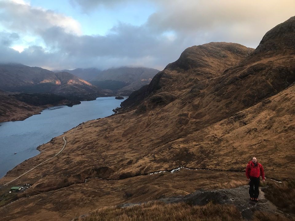
 nice route out went round on the edge and id some scrambling up with ryan and chris