Circular walk. Parked at SU727296, in a layby outside Priors Dean Church, a church possibly of Saxon origin, restored in 1856. Headed in a northeast direction across open pastureland, past flocks chattering Greenfinches, before joining a pathway that led into a small copse. Followed a steep path north before skirting along the bottom of the copse in a northerly direction. Passed over a spring with incredibly clear water, and towards Vann Farm. Took a left turn onto a country lane for around 200m before taking a right turn onto the Hangers Way. Continued along path until reaching a country road, crossed over the ford and continued on the Hangers Way up a short incline across pastureland and up a steep path to Noar Hill Hanger.
Noar Hill is a 63-hectare (160-acre) biological Site of Special Scientific Interest and part of East Hampshire Hangers Special Area of Conservation. Part of the reserve is managed by Hampshire Wildlife Trusts, who are currently undertaking works to create scrapes which are shallow depressions with gently sloping edges which may seasonally hold water. Scrapes are important habitats for many different types of wildlife.
At the top of the steep climb to the top of Noar Hanger, at a junction point with several paths, there is an information board with a local person's memories of what it was like living and growing up on the Hanger. Reference is made to walking the dark paths with a glow-worm on one's head, so that they could be seen by those that they were walking with (one to note should I forget my head torch!). There was also an intriguing note to say that if a dead person is carried along a pathway, then that pathway must remain accessible to all. I had not heard this before and plan to research further. There was also reference to muddy conditions, which I was just about to discover myself as I took a right hand turn and walked along the top of the Hanger, skirting just below the high point, to a collection of disused Medieval chalk pits. Here the land was open with low scrub and brush, quite a change from the woodland that I had walk through. The ground was undulating and quite obviously man-made. The chalk that was extracted here may have been used as a fertiliser on fields, or perhaps to make lime which was used as a building material.
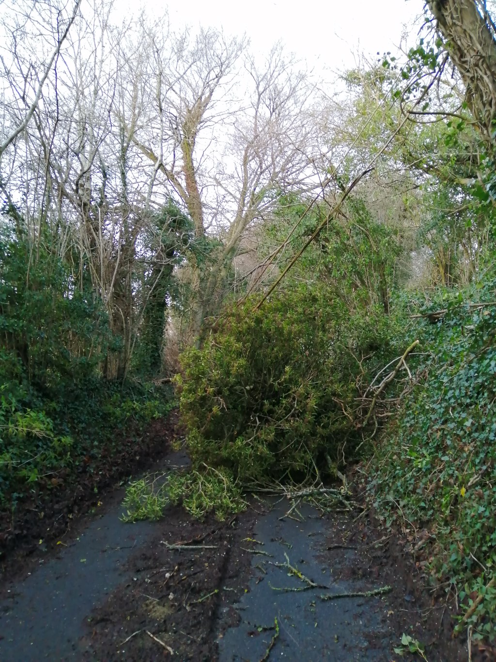
On reaching the country lane, I decided to take the lanes back to the car, namely as the conditions underfoot had been about as muddy as they could have got. The roads in this part of the world are fascinating, deeply cut into the landscape and flanked by burrows and trees of some considerable age. At a couple of points, large clumps of ivy had broken away from the trees during the storm of the previous night, and were lying across the road, completely blocking it for any vehicles who were brave enough to tackle these roads of bygone years.
Around halfway between Church and Kings Farm, I came across an interpretation board in an arable field, along with a wooden post with a metal sculpture of a partridge on the top of it. The interpretation board gave information on the cross-country initiative to improve biodiversity on farmland. There are ten demonstration farms across Europe, including the one that I was standing on. The initiative not only aims to bring improve ecological conditions for the partridge, but also aims to improve the wider ecological conditions on farmland, improving conditions for all wildlife. Further information on the project can be read here: https://northsearegion.eu/partridge/.
On reaching the car I popped back into the Church grounds to see if the Church was open, unfortunately it was not. However, there is an absolutely stunning example of a Yew tree by the main entrance, a tree of significant age judging by it's girth.
In summary, a very wet and slippery walk underfoot with some great points of interest. The walk came to a close as the sun was setting, which resulted in a wonderful sunset.
Weather, partly cloudy with sun. Light breeze. Temperature, high single figures.
Conditions underfoot, proper wellies walking, or in my case waterproof boots, gaiters and walking poles to keep one upright.