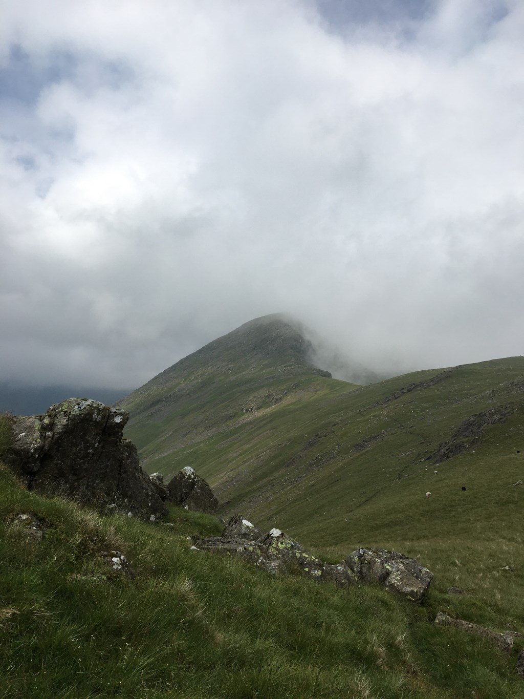
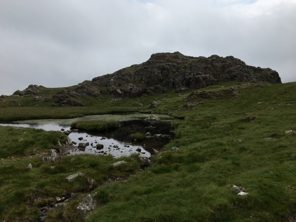
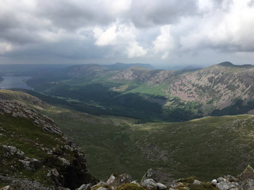
Leading a group of 2 to complete the Mosedale Round from Wasdale Head. From Wasdale into Mosedale to Black Sail pass. Then along the ridge in varying visibility to Pillar. The Wasdale Fell Race was running this day and there was a checkpoint on Pillar summit and a lone Bob Graham Round Team. Due to volume of runners coming the other way some careful group management needed descending to Wind Gap. Then onto to Scoat Fell and Steeple before heading to Red Pike and onto Dore Head. Original plan was to ascend Yewbarrow but some fatigue in the group so changed plan as parts of Yebarrow quite rugged. Considered descending Dorehead screes but discarded that option and returned via Overbeck Bridge a longer but easier route.
Key Learning
Group Management - replanning mid route due to fatigue and considering best option for a safe return. Possible option to confidence rope down Dorehead screes but an unpleasant descent with potential for slips and twists in a fatigued state
Area :
Western Fells
The Western Fells form the southern wall of the Buttermere valley and the northern fence of Wasdale. Between the two lies Ennerdale so that in effect the group is the shape of a single horseshoe, each branch about 10 miles in length.
At the head of Ennerdale stands Great Gable. The southern arc of the group travels due west from Great Gable, the main ridge consisting of Kirk Fell, Pillar, Scoat Fell, Haycock and Caw Fell.