From Kinloid, where a cuckoo was calling, and later a sedge warbler as well. I
followed the lower edge of some woods full of willow warblers,
peppered with flowers like wood anemone, celandine and, for the first
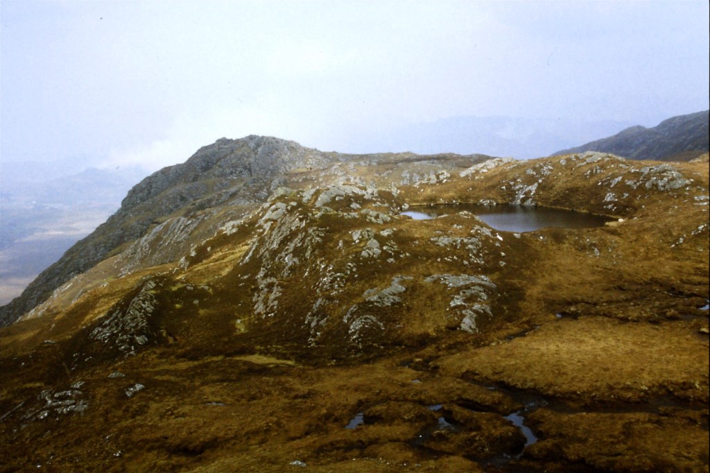
time this year, wood sorrel. The summit of Sgurr an t-Sassunaich is quite an independent
hill. The neighbouring Sgurr an Albannaich, is higher, but unfortunately across a peat bog, and itself overshadowed by a higher
mass. With its more extensive view, I have to declare a reluctant
preference for the Sassunach! The views should have been tremendous,
but they were spoiled by the haze and the smoke from muirburn on
North Morar. I will have to go back again. I’m sure there will be
the chance.
At
the top of Sgurr an t-Sassunach in the cairn is an iron stake and the
remains of a Scotland supporter’s scarf tied to it like a flag. The
first thing I noticed was “Scotland the Brave” in the design.
Descended
by the radio and TV mast recently sprouted on its SE ridge and its
access track.
Area :
Loch Eil To Glen Shiel (Incl Knoydart)
The Great Glen to the east, the A87 to the north and the A830 to the south separate this area from its surroundings and enclose an area of high mountains and low glens. The highest mountain is Sgurr na Ciche (1040m) and further north the South Glen Shiel Ridge is formed by a whopping seven Munros! Also in the area is The Saddle (1010m) which is home to the classic Forcan Ridge. Peaks in the mountains list are all above 900m.