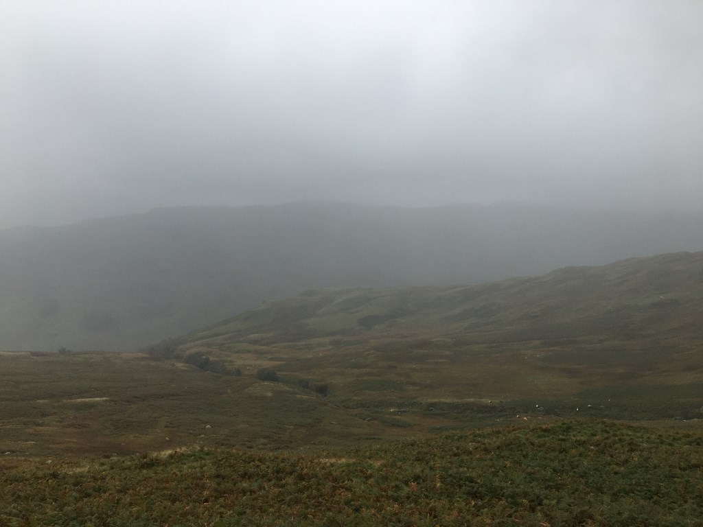
A solo trip in very poor weather. From Patterdale Hotel to Arnison Crag and then a series of Micro Nav legs under Trough Head. Traversed under Cold Cove into Deepdale. Navigated to the sheepfold in Sleet Cove. Further traversed in very poor visibility and rain under Greenhow End into Link Cove and onto ridge below Hart Crag. Visibility almost zero as ascended Fairfield. Bearing required to locate Cofa Pike and onto St Sunday crag via Deepdale Hause. From there onto Birks before descending to Patterdale.
Key Learning
Traversing is tiring....making good choices in poor weather and taking the time to have a robust plan
Area :
Eastern Fells
The Eastern Fells occupy the region between the A591 Keswick to Ambleside road and the lake of Ullswater to the west. The Helvellyn range forms the main spine of the group. To the south across the depression of Grisedale Hause, is the Fairfield group of fells.