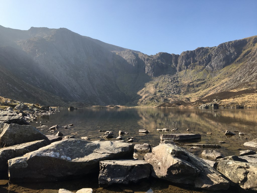
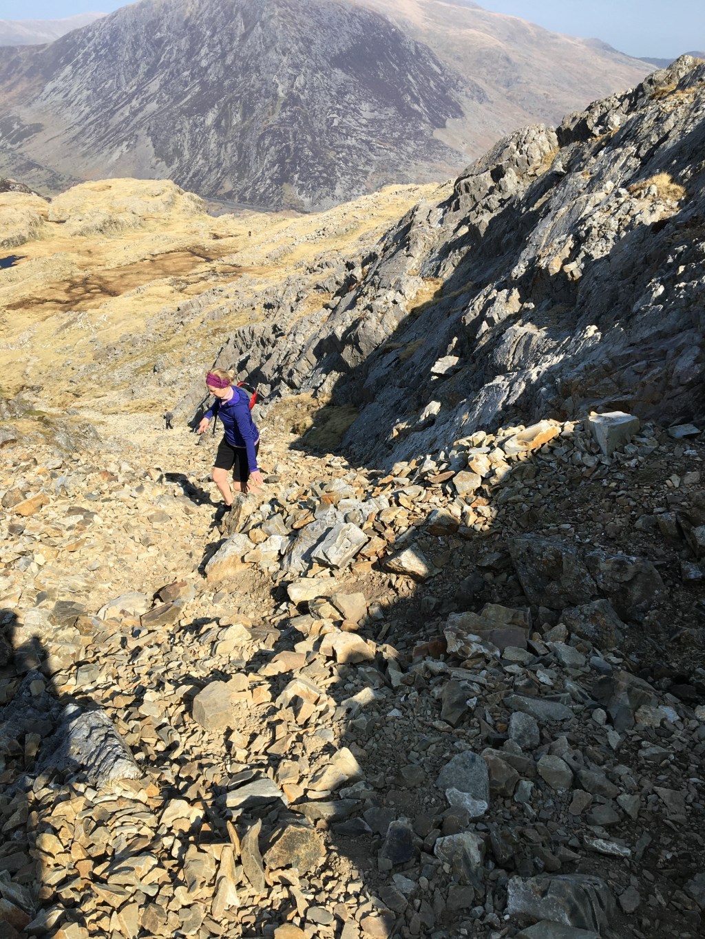
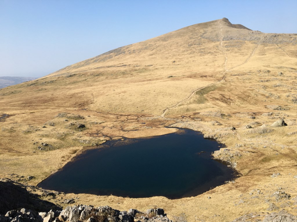
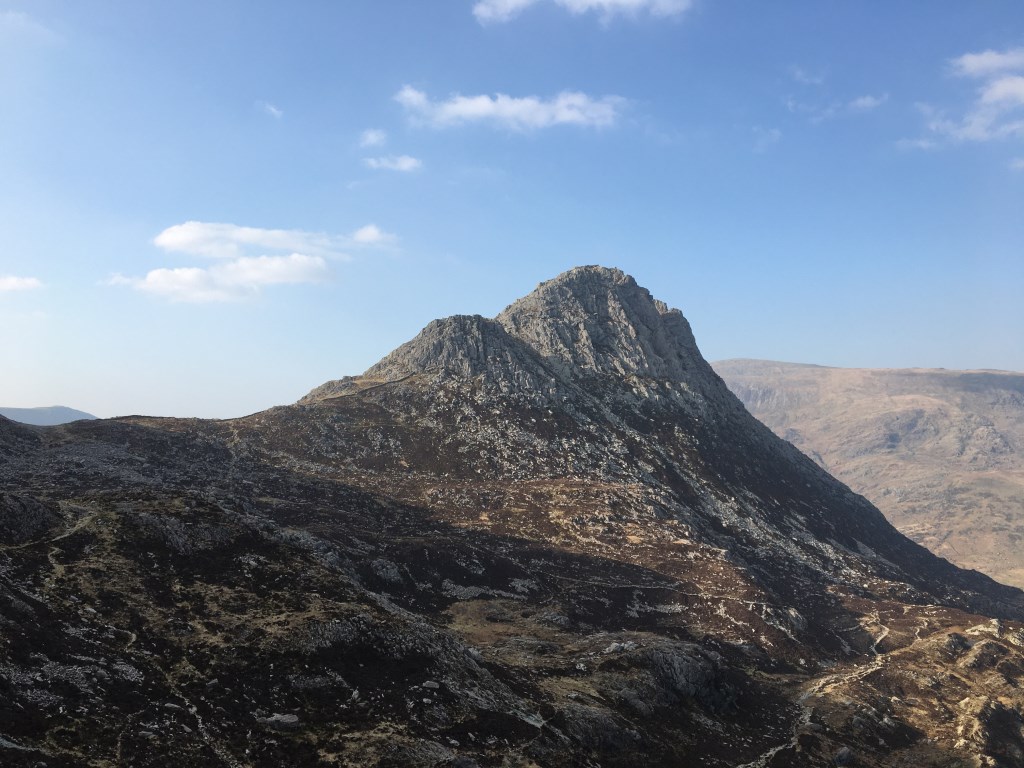
Leading a party of 2 on a tour of the Glyders. From Ogwen cottage to Llyn Idwal andthen a steep climb to Cwm Clyd, a good example of a hanging valley. Then onto the exposed north east ridge of Y Garn to the summit of Y Garn. Followed the broad grassy spur down to Llyn Y Cwn. Then a steep climb, requiring some group steep ground management, over broken rocky ground to summit of Glyder Fawr. Followed ridge to summit of Glyder Fach. From there descended east ridge to Col and then contoured west dol between Tryfan and Glyder Fach. Descended to Lyn Bochlywd and back to Ogwen Cottage.
Key Learning
Steep ground management and coaching required
Area :
Glyderau
The Glyderau (a Welsh plural form, also known in English as the Glyders) are a mountain group in Snowdonia, North Wales. The name derives from the highest peaks in the range, Glyder Fawr and Glyder Fach. According to Sir Ifor Williams, the word "Glyder" derives from the Welsh word "Cludair", meaning a heap of stones.