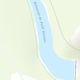
Original plan was to move from the Albert hut to Aguille du Tour, before crossing below tete Blanche to navigate across the plateua trient to stay at the Cavan D’Orny hut. Day 2 was going to head back and climb tete Blanche and petite Fourche.
Due to A) change in conditions B) local knowledge I chose to alter the plan and try to hit the mountains in a one day.
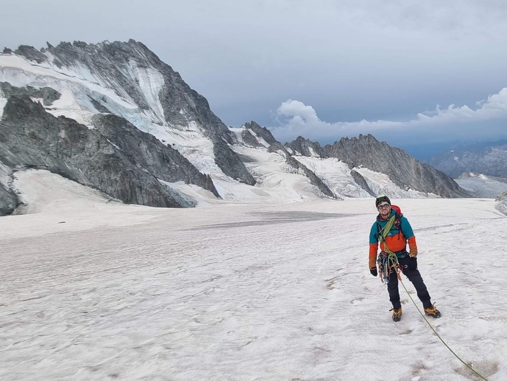
Woke up at 2am, out the hut at 3am and navigated using other to the scree and signal relay. Interesting scrambling up here. All roped up but used a number of RCI and ML techniques to ensure safety of group. Over the top we put crampons on, I relocated on the map and took a bearing based on previous planned route (written in my w/proof notebook) and new location where I paced out, keeping eyes swivelling for crevasses. From torch I could see a number in our line so boxed out 20 paces before carrying on. When we boxed back we found a more trodden ‘path’ which we took and I resorted to significant features on the map to ascertain our ascent and position. Timings wise we were perfect for stage 1; stage two meant navigation crevasses as we were trail blazing first out the hut. This proved difficult and meant we were around 60-70 minutes behind our estimated time. Carried on up and reached the top of tete Blanche and col du tour where we could see the bergschund and route to Aguille du tour.
At this point I was more weary of the weather window and how the clouds in the sky had changed from mackerel skys (alto cumulus) to alto stratus and started to build towards nimbostratus clouds. I knew the wind speed on MB was around 40km/h and remembered info regarding the approaching fronts so was weary that Aguille du Your remained around 1-5 -2 hours away, making it more likely we’d be caught in the storm.
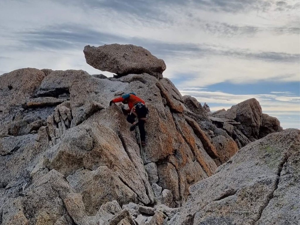
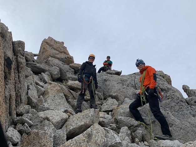
I decided to climb petite Fourche instead, and we scrambled moving together to the top, before crossing parts of the ridge using spikes and body belaying.
As we descended I began to get symptoms of altitude sickness so made myself move slower down the rocks and concentrate on coaching middle man through the technical aspects. Dan dad down allowing me to follow down the back of tete Blanche. As we lowered and I rehydrated properly we stopped and practice more crevasses rescue with different techniques. Really interesting and something to keep practicing in the future! Overall a great day and well planned.