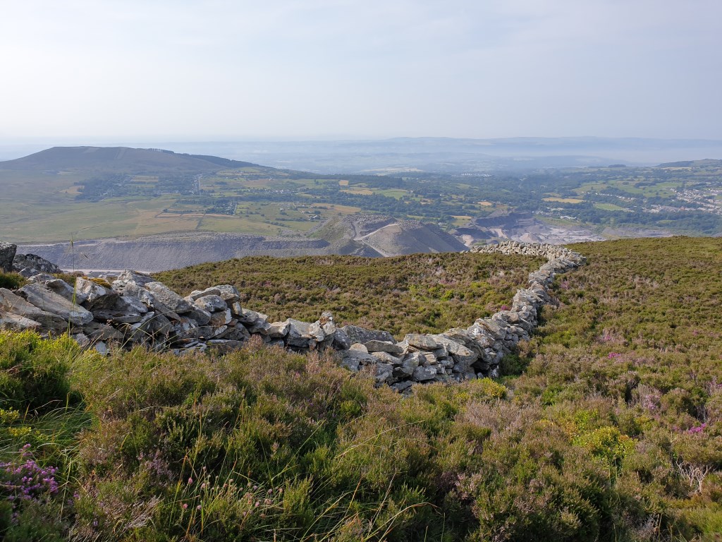
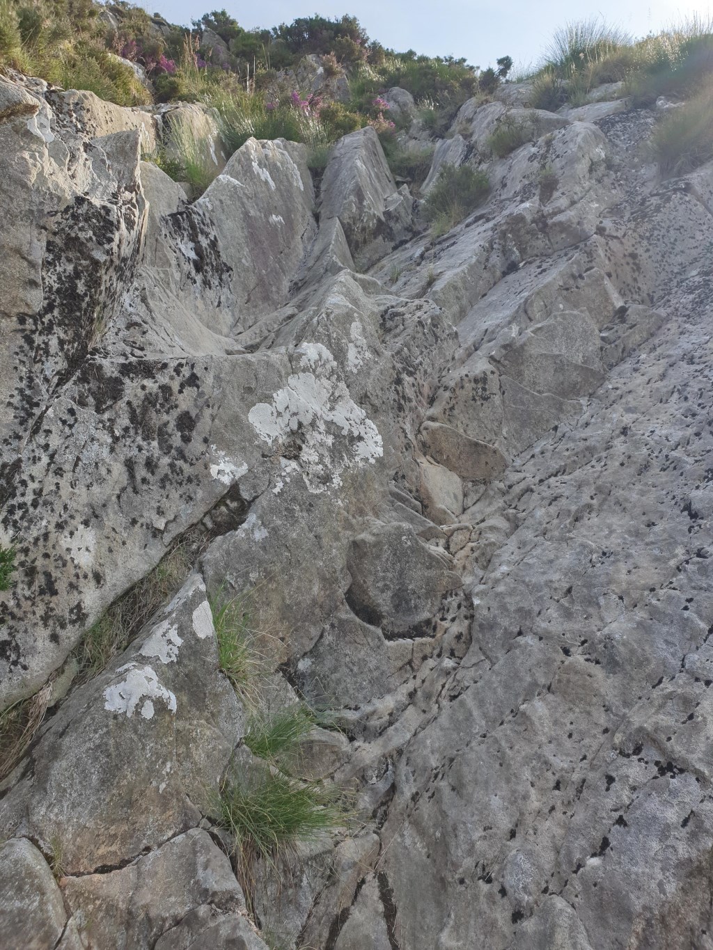
Exploration of path up to Carnedd y Ffiliast from the old Nant Ffrancon road with a view to using it as a descent to Bethesda in future when doing the Glyderau. Notes: don't try to avoid a scree slope, you'll be in knee-deep heather. There's a sharp short scramble which is fine on way up but could be tricky if descending in the wet. 727 m ascent.
Rather than going down the way we came, we went down the northern slope toward the reservoir and circled around the Penrhyn Quarry, trying to follow the Slate Trail. Signposting of this is great where it's not needed, and non-existent where it's urgently needed. Wound up in boggy bits and emerged in Mynydd Llandigai. Not one I'm in a hurry to repeat.
Area :
Glyderau
The Glyderau (a Welsh plural form, also known in English as the Glyders) are a mountain group in Snowdonia, North Wales. The name derives from the highest peaks in the range, Glyder Fawr and Glyder Fach. According to Sir Ifor Williams, the word "Glyder" derives from the Welsh word "Cludair", meaning a heap of stones.