Mia Walker - 1428254
logs 211Awards Completed
 ML
ML
ML
ML
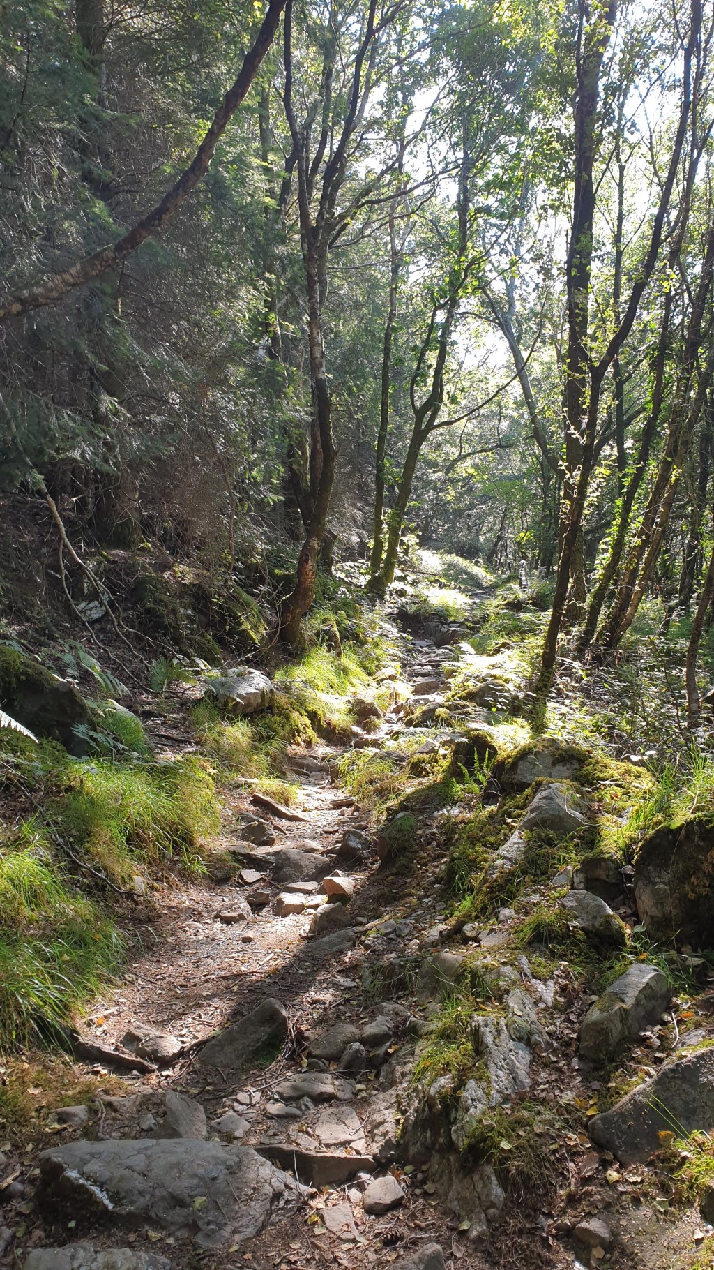
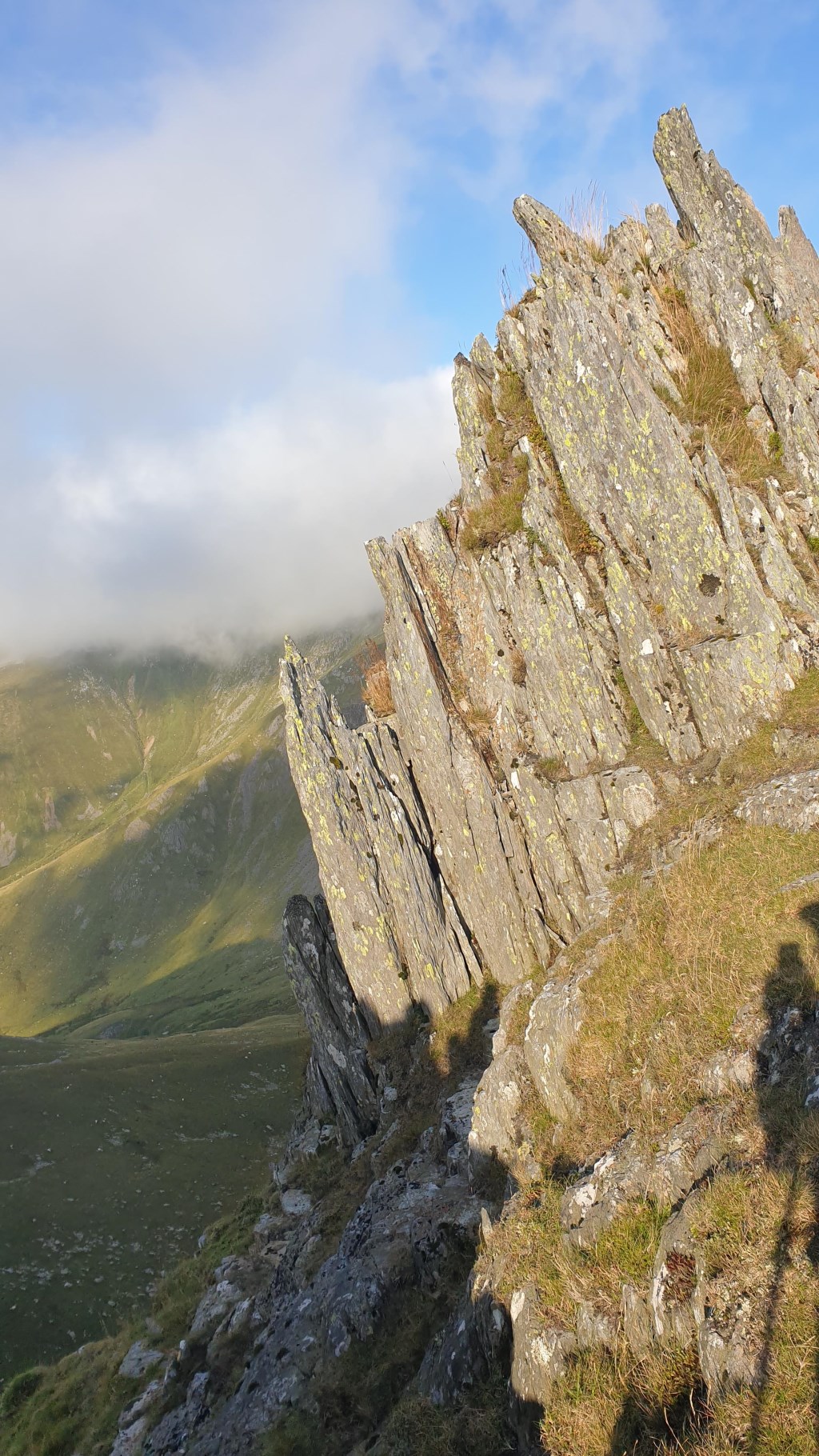
The Carneddau (lit. "the cairns"; Carneddau is a Welsh plural form, and is sometimes anglicised to Carnedds) are a group of mountains in Snowdonia, Wales. They include the largest contiguous areas of high ground (over 2,500 or 3,000 feet (910 m) high) in Wales and England, as well as six or seven of the highest peaks in the country—the Fourteen Peaks. The range also encloses a number of lakes such as Llyn Cowlyd and Llyn Eigiau, and the Aber Falls waterfalls. It is delimited by the Irish Sea to the north, the Conwy valley to the east, and by the A5 road from Betws-y-Coed to Bethesda to the south and west. The area covers nearly 200 square kilometres, about 10% of the area of Snowdonia.
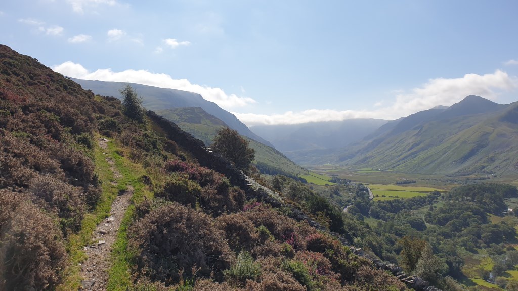
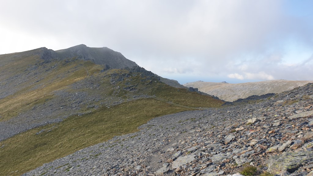
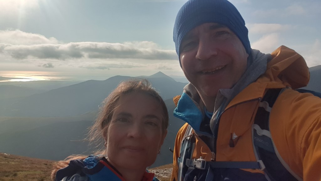
 Pen Yr Ole Wen ascent via Afon Berthen valley; descent via Yr Elen. Good ML lessons: Path disappears early on in a heathery slope; pay attention. Boggy bits on approach to Pen Yr Ole Wen make for hard going; Mynydd Ddu rige to Carnedd Dafydd with a quick detour to summit Pen Yr Ole Wen is a better alternative. Path disappears at base of Yr Elen. It takes advanced nav skills or GPS as the stile isn't visible from the flat. 1168 m ascent.