Mia Walker - 1428254
logs 211Awards Completed
 ML
ML
ML
ML
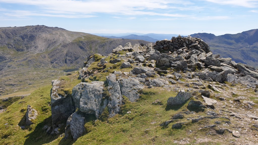
The Glyderau (a Welsh plural form, also known in English as the Glyders) are a mountain group in Snowdonia, North Wales. The name derives from the highest peaks in the range, Glyder Fawr and Glyder Fach. According to Sir Ifor Williams, the word "Glyder" derives from the Welsh word "Cludair", meaning a heap of stones.
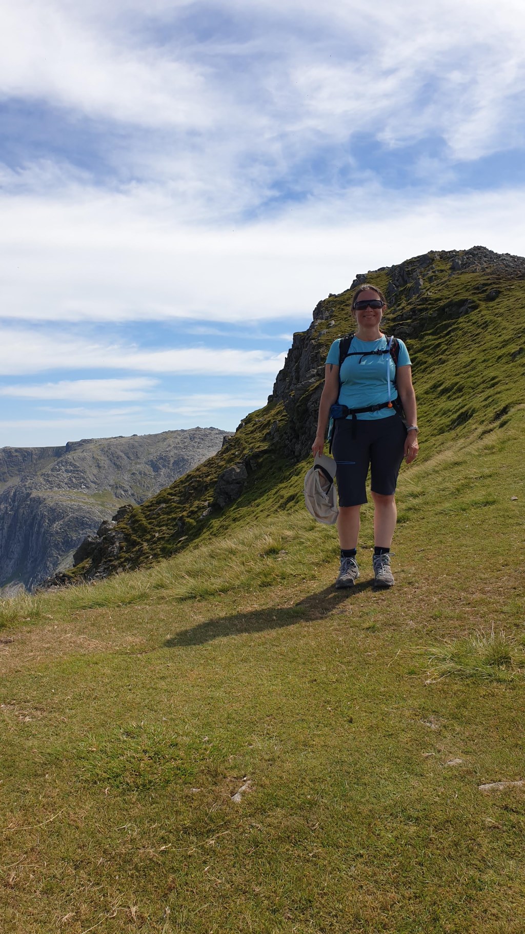
 First QMD since injury. Up Y Garn ridge, across entire ridgeline, down via Carnedd y Filiast. Very hot. Strictly map & compass nav. It went wrong on Carnedd y Filiast: millions of midges meant that every time I had the map set up, I had to wave my arms around. Got flustered, chose the wrong direction and wound up in a boulder field but was able to recover and proceed. About halfway down, phone battery died because I was using it to record the GPX track (hence a truncated file). Lesson: don't forget the battery pack!