The Glyderau (a Welsh plural form, also known in English as the Glyders) are a mountain group in Snowdonia, North Wales. The name derives from the highest peaks in the range, Glyder Fawr and Glyder Fach. According to Sir Ifor Williams, the word "Glyder" derives from the Welsh word "Cludair", meaning a heap of stones.


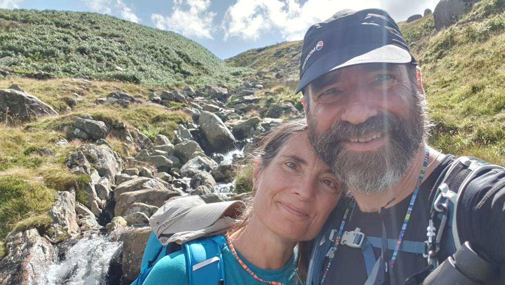
 Up Gallt Yr Ogof & along ridge leading down to Capel Curig. Ascent on western aspect: handrailed Nant yr Ogof and fenceline then freestyled up the slope. Descentvia Cefn y Capel ridge, with some lively down-scrambling. Pack weight of 8kg to build strength.