Mia Walker - 1428254
logs 211Awards Completed
 ML
ML
ML
ML
The Carneddau (lit. "the cairns"; Carneddau is a Welsh plural form, and is sometimes anglicised to Carnedds) are a group of mountains in Snowdonia, Wales. They include the largest contiguous areas of high ground (over 2,500 or 3,000 feet (910 m) high) in Wales and England, as well as six or seven of the highest peaks in the country—the Fourteen Peaks. The range also encloses a number of lakes such as Llyn Cowlyd and Llyn Eigiau, and the Aber Falls waterfalls. It is delimited by the Irish Sea to the north, the Conwy valley to the east, and by the A5 road from Betws-y-Coed to Bethesda to the south and west. The area covers nearly 200 square kilometres, about 10% of the area of Snowdonia.
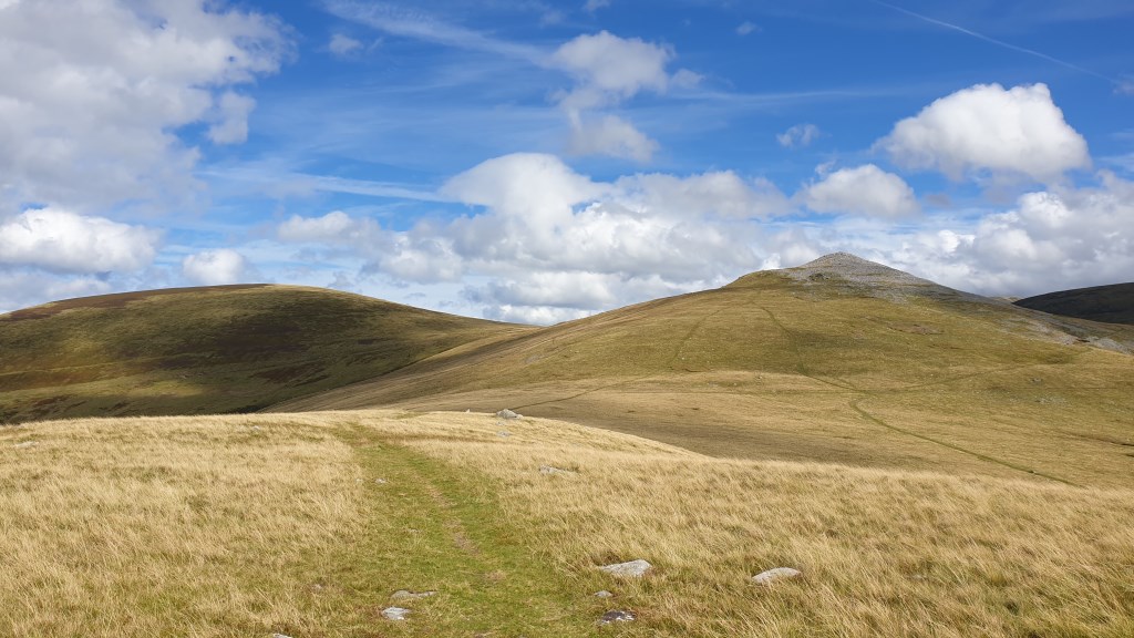
 Strength-building with heavy pack; nav practice. Lesson: most visible paths on Moel Wnion seem promising but fade; probably why they're not on the maps. Had difficulty relocating on lower slopes of Moel Wnion; visible features in the landscape didn't seem to quite align with where the path I was seeking ought to be. 595 m ascent.