The Carneddau (lit. "the cairns"; Carneddau is a Welsh plural form, and is sometimes anglicised to Carnedds) are a group of mountains in Snowdonia, Wales. They include the largest contiguous areas of high ground (over 2,500 or 3,000 feet (910 m) high) in Wales and England, as well as six or seven of the highest peaks in the country—the Fourteen Peaks. The range also encloses a number of lakes such as Llyn Cowlyd and Llyn Eigiau, and the Aber Falls waterfalls. It is delimited by the Irish Sea to the north, the Conwy valley to the east, and by the A5 road from Betws-y-Coed to Bethesda to the south and west. The area covers nearly 200 square kilometres, about 10% of the area of Snowdonia.


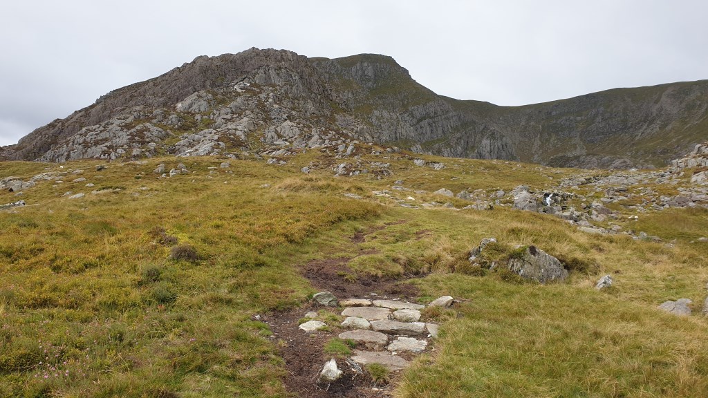
 Up Pen Yr Ole Wen from Glan Dena using 1:25k in fog, over to Carnedd Dafydd, then down Mynydd Du ridge. Nav trouble on descent; many boulders and drops before flatter part of Mynydd Du ridge. Lesson: take more care with boxing procedures in bouldery/rocky terrain. Much harder to do when operating solo. Didn't resort to using phone to check GPS though in hindsight this would have saved a lot of trouble. 847 m ascent with scrambling.