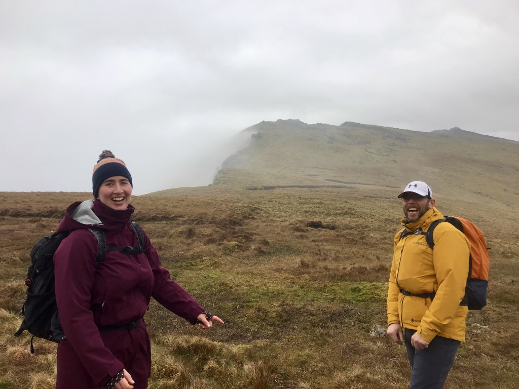
Mountain Skills: 2 days : 8 hours x 2: So I had a couple of last minute cancellations on this course, so that meant Aoife and Kieran (Sean really for the two days) had the pleasure of my exclusive company. Now I know that some people would say that’s not necessarily a good thing but I do believe they enjoyed themselves 🧐🥾☀️. What I’m even more convinced of is that everybody can navigate really well given the opportunity, a bit of a structure and a bit of confidence.
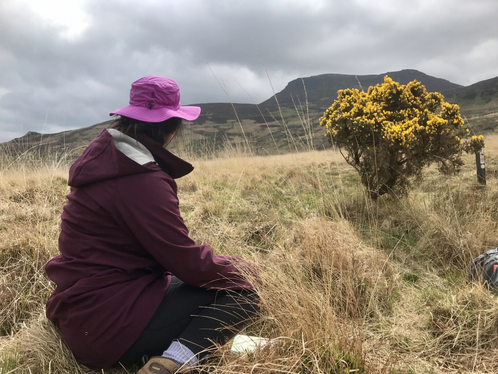
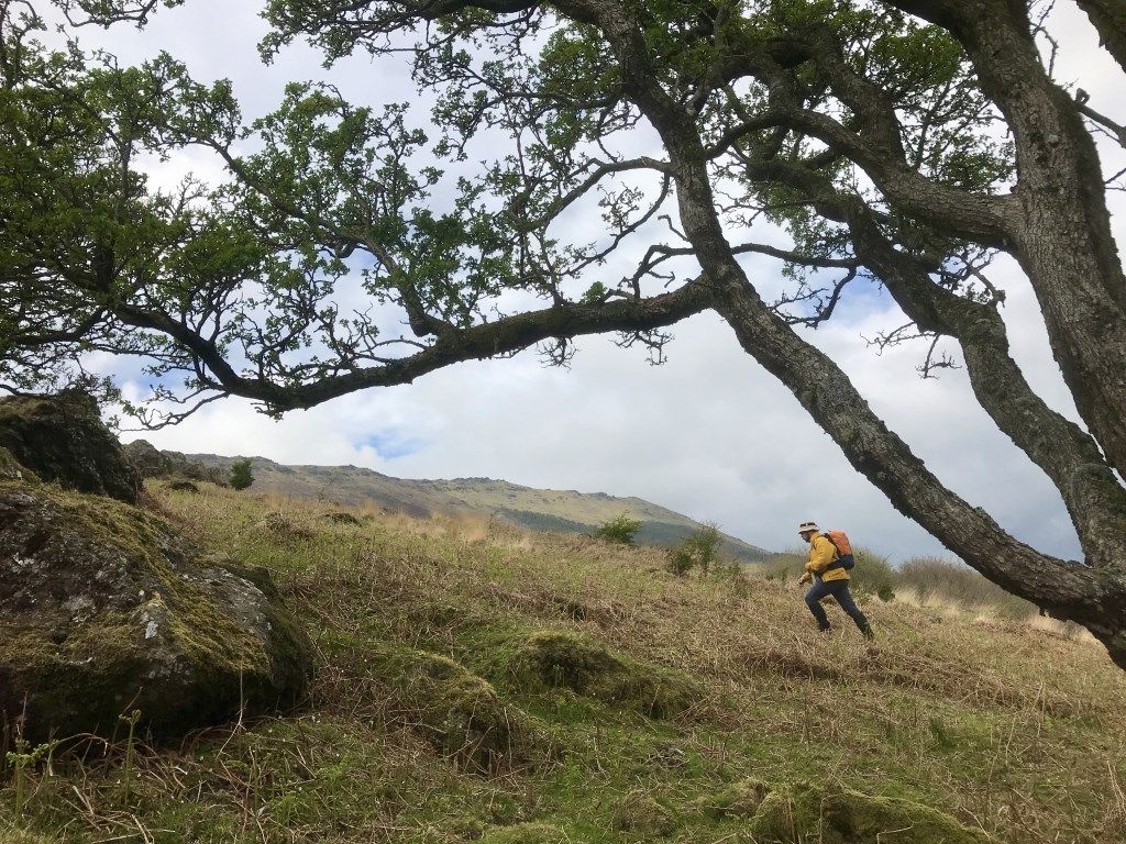
By day two I was asking 'so where are you bringing me?'…”in that direction, I’m going to walk for 300m, across three 5 meter contours, cross one stream, then find another stream, it will be my stream because it has a little stream junction just there and there is lots of flat ground just past it”…my work was done early. 😁☀️😎…I did love it though when Kieran picked a spot to navigate to…'The Invisible’ wall!! It's on the map but does it exist?? Great entertainment in the sunshine with super sun-hats to match. A few storm clouds came in late but the guys got me home on time and dry.
Learning navigation is great entertainment for everybody involved.
Area :
Comeragh Mountains