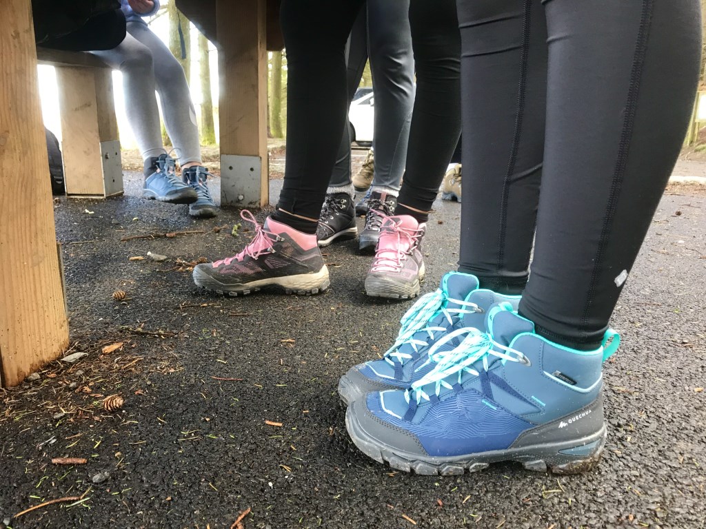
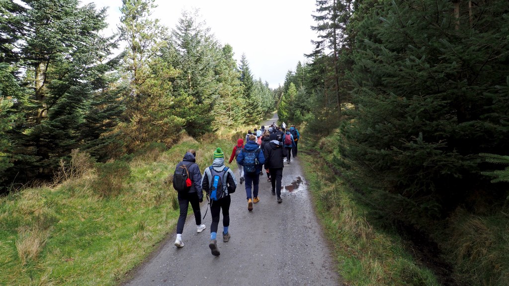
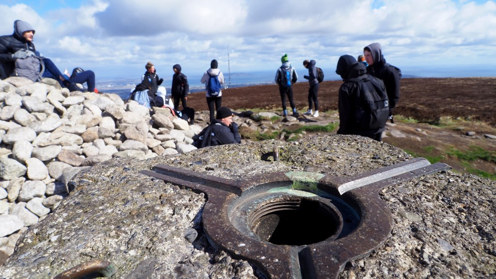
Out and about for a couple of days with these colourful boots 🥾 (not mine) on a Gaisce Bronze 🥇 @gaisceaward award. Students from @lusk_community_college were based at @larchhill_scoutcentre for @scoutingireland. Two days of good effort from the students, a few blisters along the way but lots of good humour and perseverance too. Despite claims of ‘never again’ I know they all will hike again as its such a good head space to be in and a great resource to have throughout life. Irish weather offered a few sunny spells, a bit of wind, a few hail showers, some sleet, more sun, a bit of rain, more sun…. The usual.
Thanks to the students and staff for the effort. You will be back! 😎☀️🌧
Area :
Wicklow Mountains North
The Wicklow Mountains are the largest area of continuous high ground in Ireland, having an unbroken area of over 500 km2 (190 sq mi) above 300 metres (1000 feet). They occupy the centre of County Wicklow and extend into Counties Dublin, Carlow and Wexford. The general direction of the mountain ranges is from north-east to south-west.The north is compromised of Kippure, on the boundary of Dublin and Wicklow.