Start: Banc y Fan end of road SH 65695 20175
Distance: 19k
Duration: 8 hours
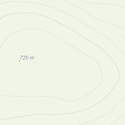
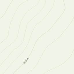
Direction: NW up shoulder Briach to 572, then following tops/ ridge line ENE to Diffwys; N to Llethr, descent to Llyn Hewel and rise to Rhinog Fawr. Descent SE steeply in reentry valley then turn N to meet main track at 310m contour; then W through Bwlch then farmland by Pont Cerrig; turn S on bridlepath rising then falling to Pont Scethin; and returning over shoulder and down Briach.
Description: Using walkers forums I found Banc y fan end of minor road actually had a small car park and a really good route up, as this since gives excellent views back to Cadair Idris. Starts easy then difficult descent to Llyn Hewel. After that much of a rough type of scramble up Rhinog Fawr, the highlight of the day, with some checking of landscape to find a route down. Some of the permissive paths shown over Access land did not exist in reality, so some trudging over boggy land. Returning by Pont Scethin bridge, I diverted to avoid cattle and calves; this is open access land so was easy to take a wide sweep around. Strong sun, needed sun cream and all my water reserves. Went to the sea at Morpha Dryffyn after - warm too!
Area :
Rhinogydd
The Rhinogydd (a Welsh plural form, often anglicised as Rhinogs and also known by the alternative Welsh plural Rhinogau) are a range of mountains located east of Harlech in North Wales. The name Rhinogydd derives from the names of two of the more famous peaks, Rhinog Fawr and Rhinog Fach, although the greatest elevation in the range is reached by Y Llethr, 756 m.