Start: Llangurig car park SN 90814 79607
Distance: 30k
Duration: 8.5 hours
Direction: NW following lanes then forest tracks then Severn Way continuing through forest to Source of River Severn. Then S to 741 top above forest; WSW to 724 top then off path to find source of River Wye - this is not obvious as there are several springs on hillside, requires steep walk down (no path) before the River Wye way actually begins 2k downstream. Follow River Wye way back to car park on public footpaths through farmland ESE.
Description: Circuit to source of Severn, Wye - interesting to try and find the actual sources, some off track navigation in between lots of forest and farmland. New route for me. Not sure why there is no path to source of Wye given there is a public path downstream - I think a walking group interested would want to find it!
Area :
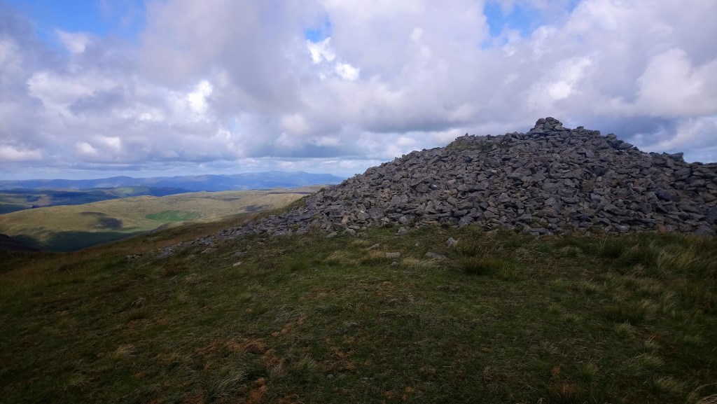
Plynlimon (Cambrian Mountains)
Originally the term "Cambrian Mountains" was applied in a general sense to most of upland Wales. Since the 1950s, its application has become increasingly localised to the geographically homogeneous Mid Wales uplands, known in Welsh as the Elenydd, which extend from Pumlumon to Mynydd Mallaen. This barren and sparsely populated 'wilderness' is often referred to as the Desert of Wales. The area includes the sources of the River Severn and River Wye, and was unsuccessfully proposed as a National Park in the 1960s and 1970s. The highest point of the range is Pumlumon (or Plynlimon), at 2,467 feet (752 m).