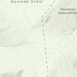
Had a friend visiting. Gale force winds forecast so even though he's a fit walker, I chose the gentle rolling hills in the Carneddau instead of Yr Wyddfa. Forecast was for gusts up to 50 mph so we ascended Gyrn Wygau and Drosgl via the main path. Gusts were higher than predicted. When a 60 mph plus gust knocked me off my feet on Gyrn Wygau, I chose to avoid Bera Mawr and Bera Bach, and went off-path to summit Carnedd Gwenllian to avoid the southwesterly winds on the main path. For the return, I had us cut across between the two Beras, then over the northern shoulder of Drosgl and down into the Ffryddlas valley, navigating by line of sight and reference to OS 1:25000. Because of the conditions, the return journey was a unique route since my decisions were driven entirely by the aim of avoiding exposed areas and heading down safely. We returned exhausted but unharmed.
Area :
Carneddau
The Carneddau (lit. "the cairns"; Carneddau is a Welsh plural form, and is sometimes anglicised to Carnedds) are a group of mountains in Snowdonia, Wales. They include the largest contiguous areas of high ground (over 2,500 or 3,000 feet (910 m) high) in Wales and England, as well as six or seven of the highest peaks in the country—the Fourteen Peaks. The range also encloses a number of lakes such as Llyn Cowlyd and Llyn Eigiau, and the Aber Falls waterfalls. It is delimited by the Irish Sea to the north, the Conwy valley to the east, and by the A5 road from Betws-y-Coed to Bethesda to the south and west. The area covers nearly 200 square kilometres, about 10% of the area of Snowdonia.