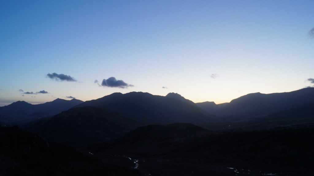
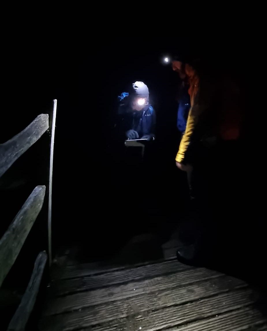
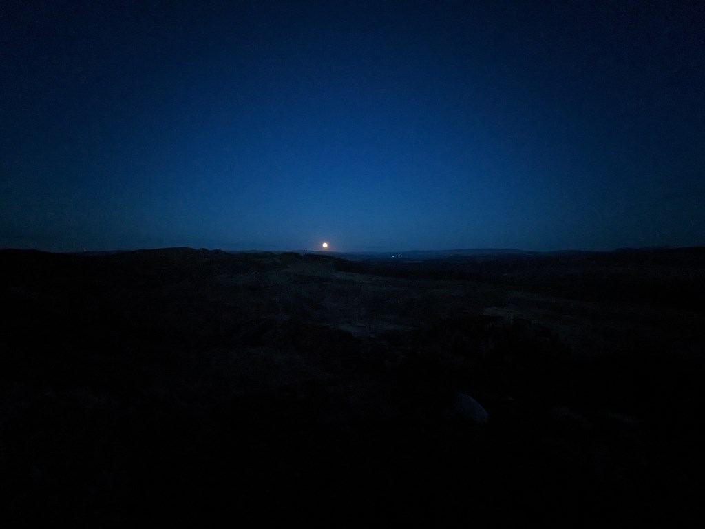
A bit of 1:25 nav during daylight, then several hours of night nav. Got my timings wrong while leading the first daylight leg; walked past my target. But the strategy was bang on. Achieved all targets on night nav, and relocated successfully on all but one of many occasions. I relocated frequently while other candidates were doing their legs, so that I could keep my bearings, hence so many relocations. I missed the last one as we should have crossed both a stream and a wall right next to one another before getting to a particular footbridge; but neither stream nor wall existed. What I should have done was to look around before declaring where I was because it would have been obvious. Doh. BUT - we saw the most incredible moonrise, what a blessing. And lots of frog spawn :)
Area :
Carneddau
The Carneddau (lit. "the cairns"; Carneddau is a Welsh plural form, and is sometimes anglicised to Carnedds) are a group of mountains in Snowdonia, Wales. They include the largest contiguous areas of high ground (over 2,500 or 3,000 feet (910 m) high) in Wales and England, as well as six or seven of the highest peaks in the country—the Fourteen Peaks. The range also encloses a number of lakes such as Llyn Cowlyd and Llyn Eigiau, and the Aber Falls waterfalls. It is delimited by the Irish Sea to the north, the Conwy valley to the east, and by the A5 road from Betws-y-Coed to Bethesda to the south and west. The area covers nearly 200 square kilometres, about 10% of the area of Snowdonia.