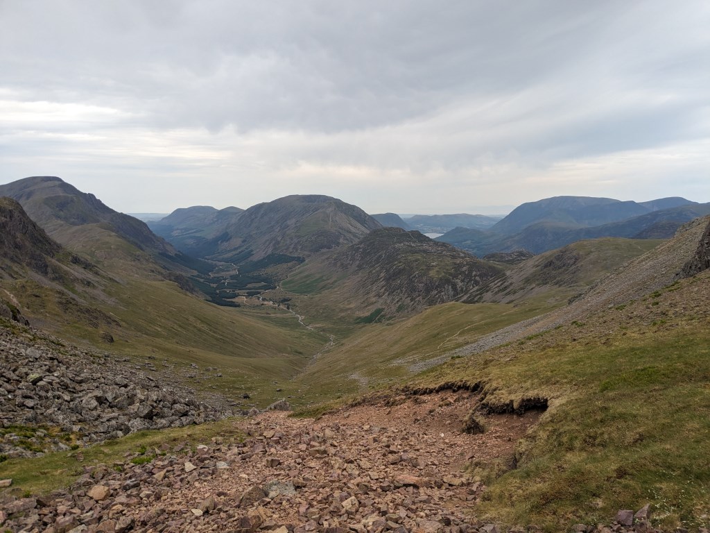
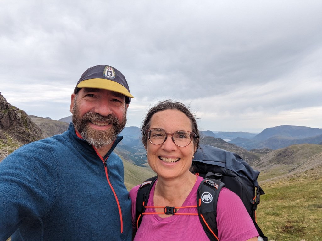
Day 2; after a rough night with high winds and inquisitive sheep we ascended Green Gable via a wonderful path that followed a cutting in the landscape, which was full of wild flowers. We then popped up Great Gable and made our way over to Kirk Fell. Between the previous day's heat exhaustion and a bad night, exhaustion set in with a vengeance. I took a nasty fall on the incredibly poor path down the western flank of Great Gable. We had an escape route and so we took it, but it turned out that this 90% of was a terrible scree slope (not quite as depicted on OS 1:25k). I lost my footing again twice, seriously bruising my spine on the last fall. A lesson for me personally is, don't push too hard on Day 2 of an exped.
Area :
Western Fells
The Western Fells form the southern wall of the Buttermere valley and the northern fence of Wasdale. Between the two lies Ennerdale so that in effect the group is the shape of a single horseshoe, each branch about 10 miles in length.
At the head of Ennerdale stands Great Gable. The southern arc of the group travels due west from Great Gable, the main ridge consisting of Kirk Fell, Pillar, Scoat Fell, Haycock and Caw Fell.