elapsed time : 7.5hr
walking time : 5:30
distance : 11.2mile
elevation : 4,550ft
forecast was for heavy rain all day - as a continuation of the previous 3 days rain
winds on great gable to be 35mph gusting over 40mph from a westerly direction
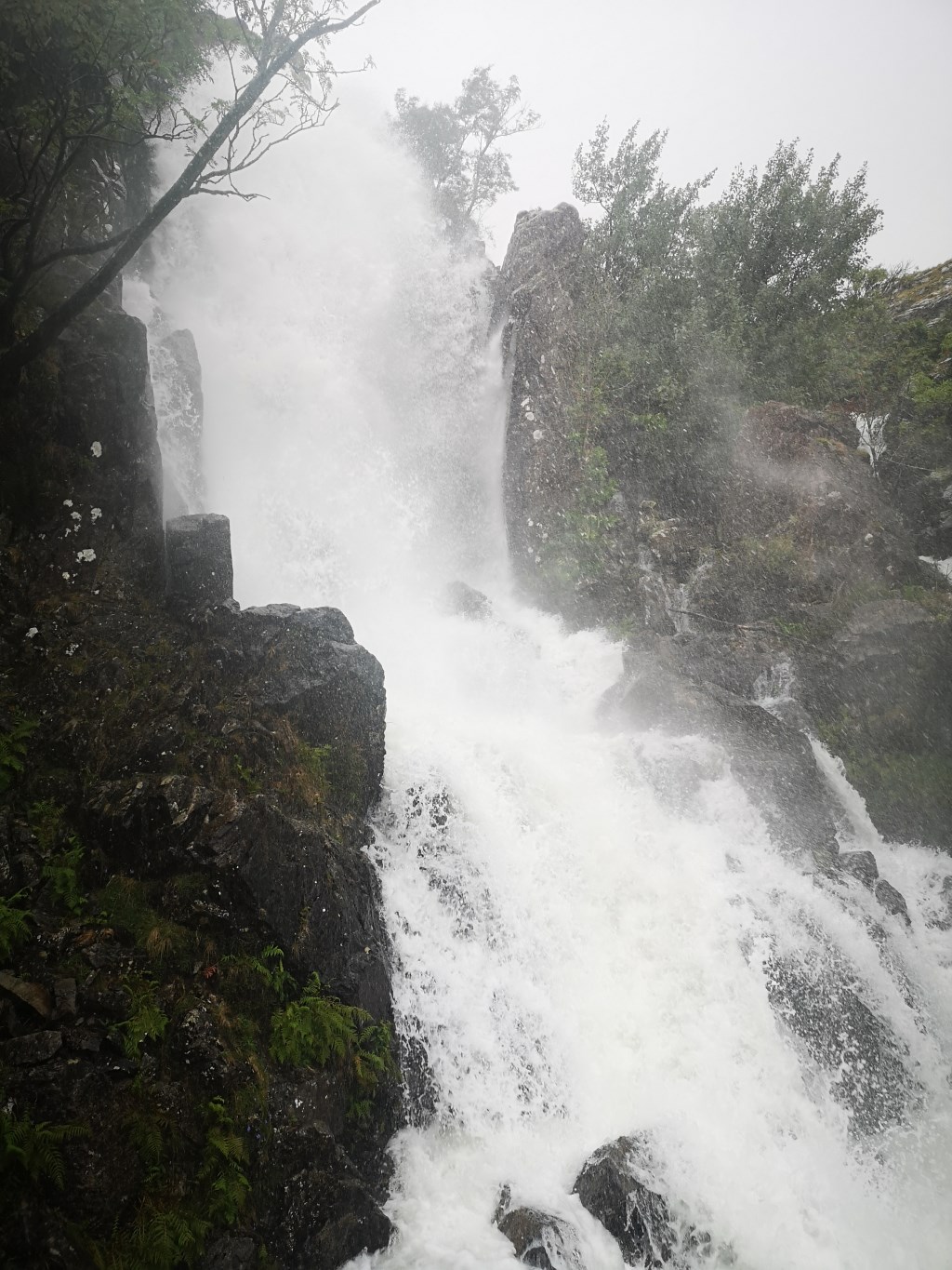
parking at Seathwaite i met a walker coming off the hill. He had reached the top of the waterfalls below Base Brown and decided it was too wet.
The path up alongside the waterfalls was awash with water. Very poor cross drain construction and downwards sloping on the pitched stones in the path. Not how i would have built it. Must be risky when descending.
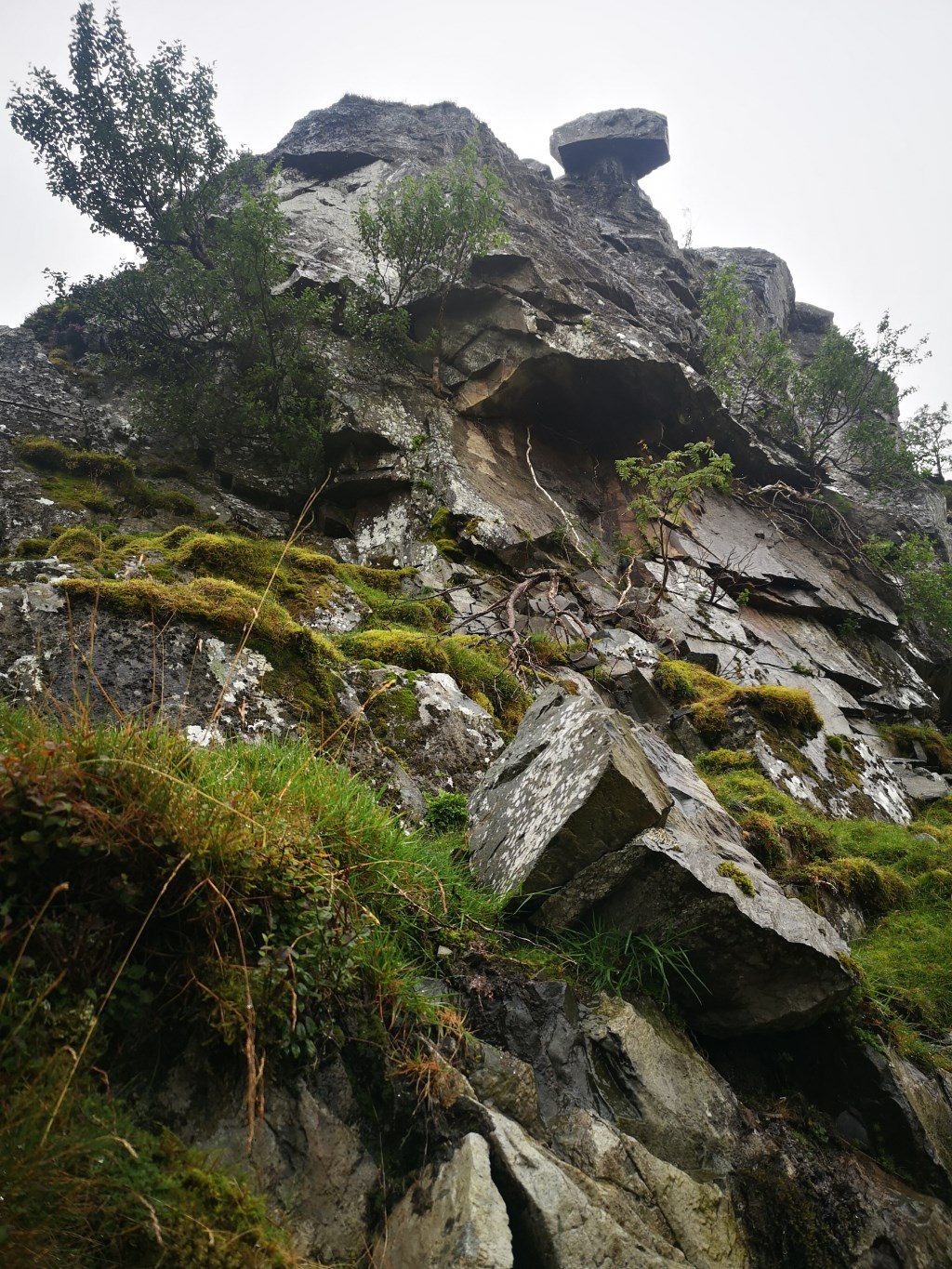
ascended the path to the west of Sour Milk gill and then towards the hanging stone on Base Brown and along the ride to Green Cable and Great Gable.
Decided against descending Base Brown to ascend Grey Knotts for a few reasons.
The route up Grey Knotts was not visible from the valley nor ridge due to cloud cover.
The route plan to Glaramara was still a long one without the extra peaks.. The base route to Glaramara was going to take 6 - 7 hours which felt sufficient given the likely 18:00 finish time and level of energy
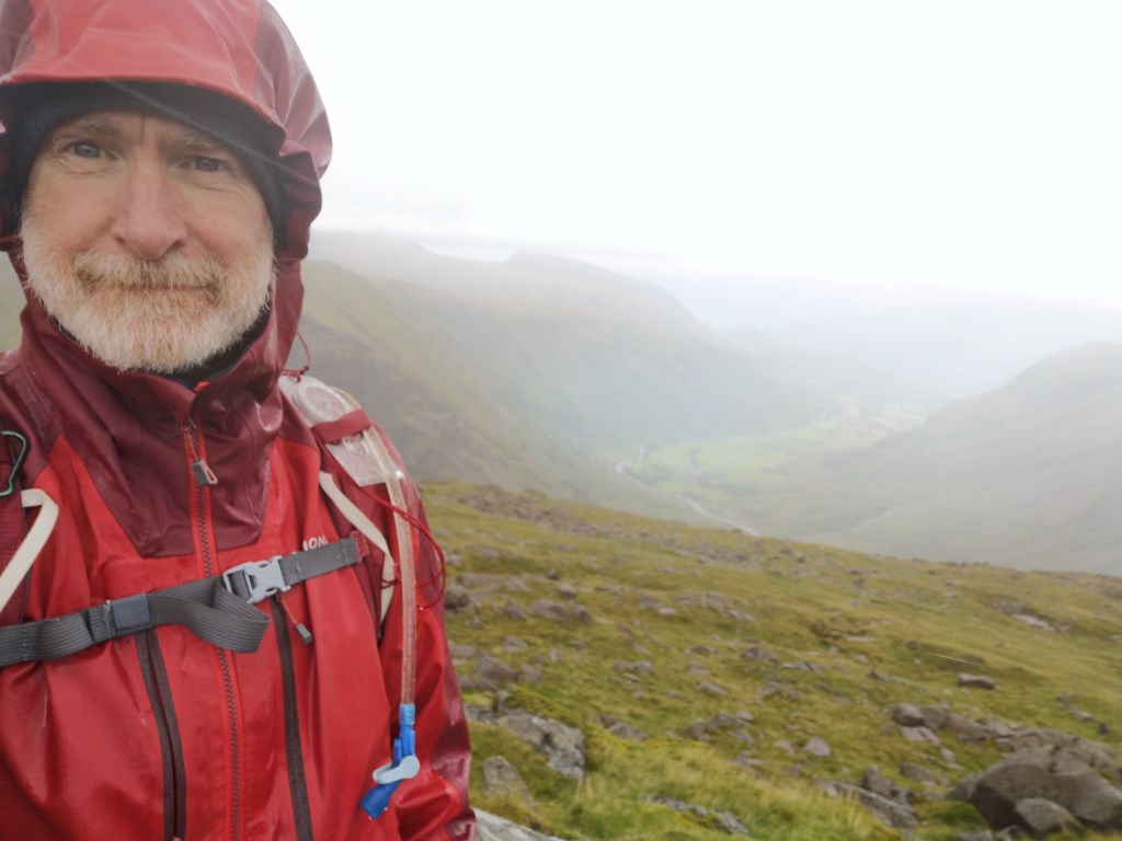
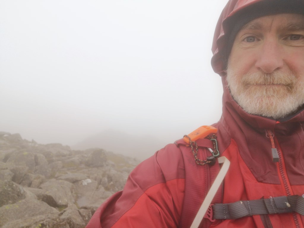
Once on the ridge visibility was down to the 20m range.
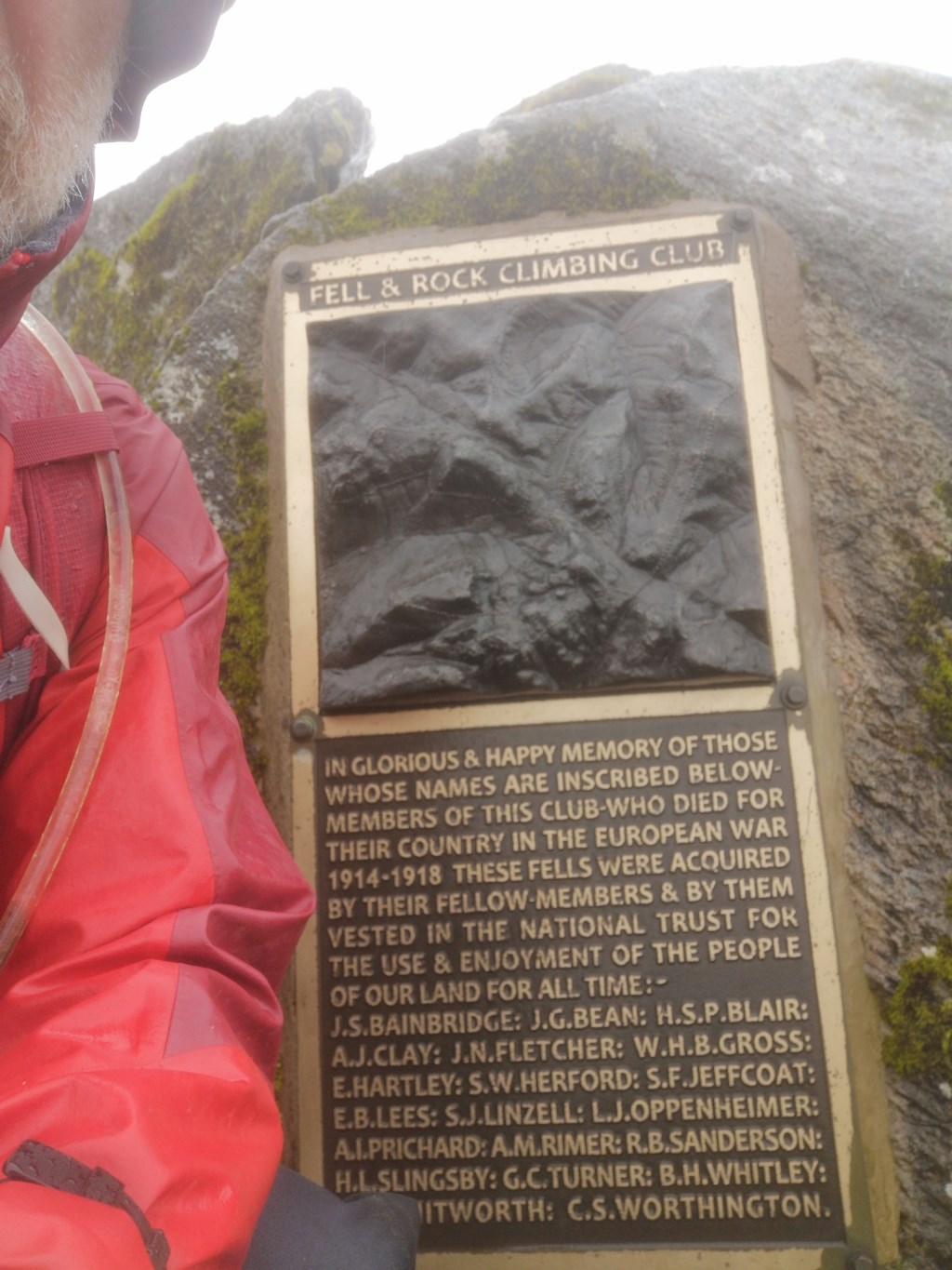
Oppenheimer is one of the names on the memorial plaque on Great Gable! Son of an Austrian man.
Descending Great GAble took a bit of back and forth to find the correct path to Sty Head. I did not want anything steep today.
Process not helped by the compass failing. Had to resort to the OS App compass and criss crossing the downslope until the path was obvious.
Seathwaite ridge walk was a piece of ready reckoning once the tarn was found ) turn off point from the Sty head path.
Glaramara delivers a few 'summits' / Tors
Again, a bit of to and fro to find the route down. No visible path for my chosen route off alongside Hind Gill. Required a bit of OS App compass bearing and location checking on the app.
Not a pleasant descent along Hind Gill. Steep wet grassy slopes - one towards the Gill and one towards River Derwent.
soaked ;-)
Area :
Western Fells
The Western Fells form the southern wall of the Buttermere valley and the northern fence of Wasdale. Between the two lies Ennerdale so that in effect the group is the shape of a single horseshoe, each branch about 10 miles in length.
At the head of Ennerdale stands Great Gable. The southern arc of the group travels due west from Great Gable, the main ridge consisting of Kirk Fell, Pillar, Scoat Fell, Haycock and Caw Fell.