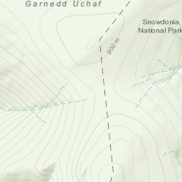
Automatically created from a GPX file - carneddau expedition day2.gpx
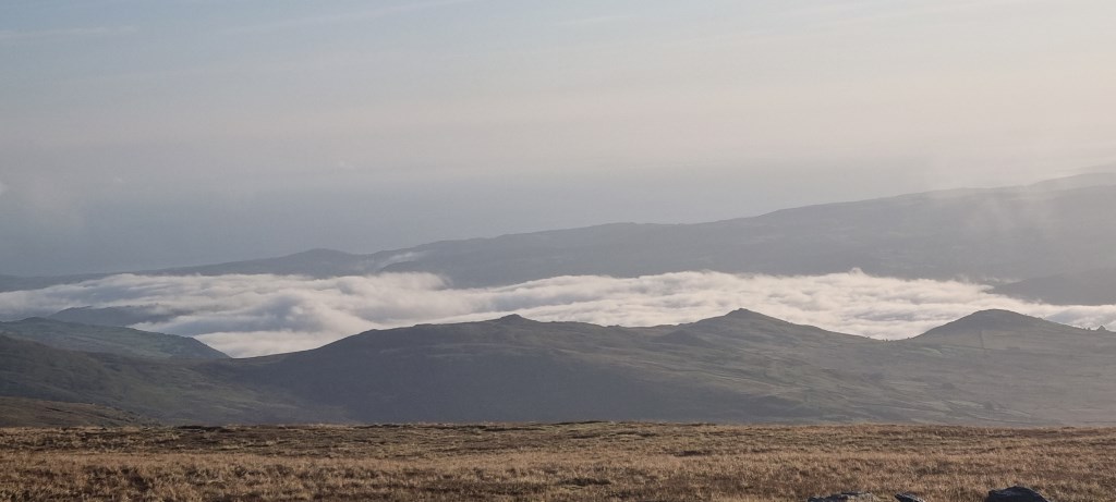
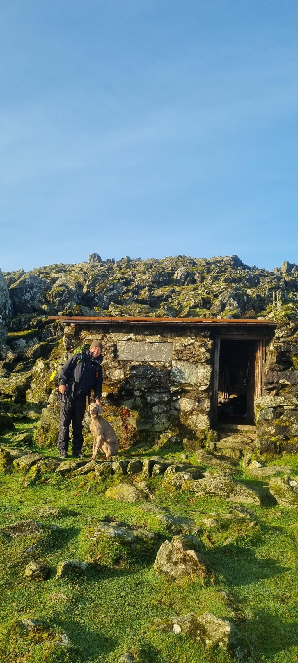
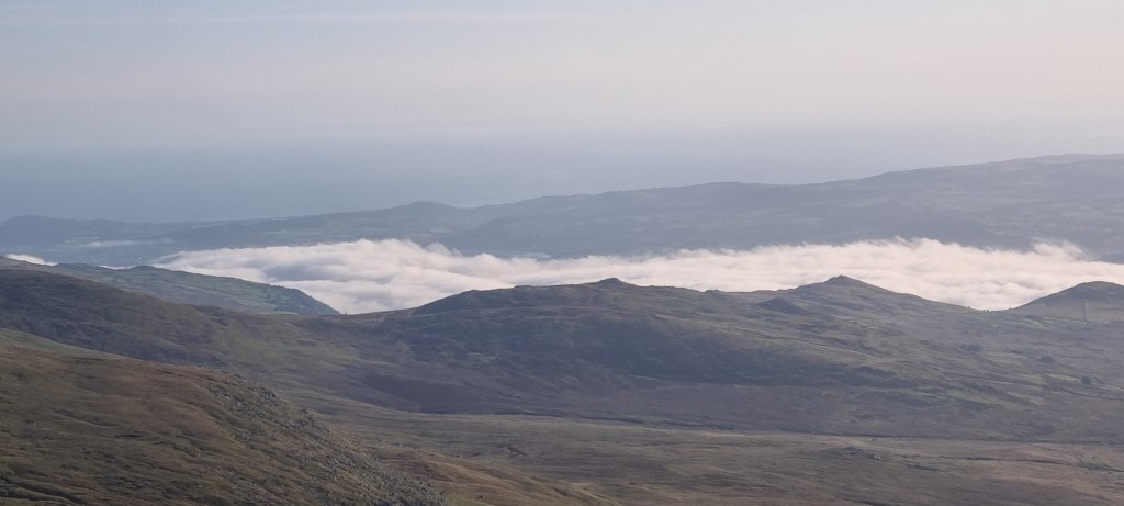
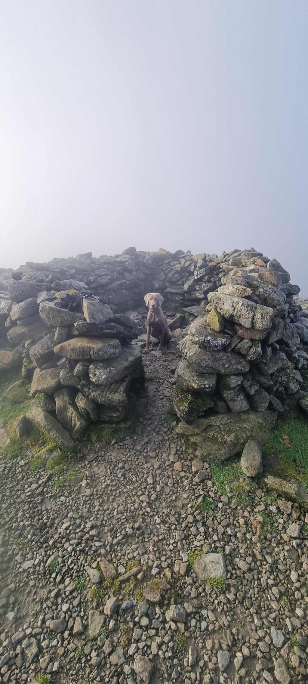
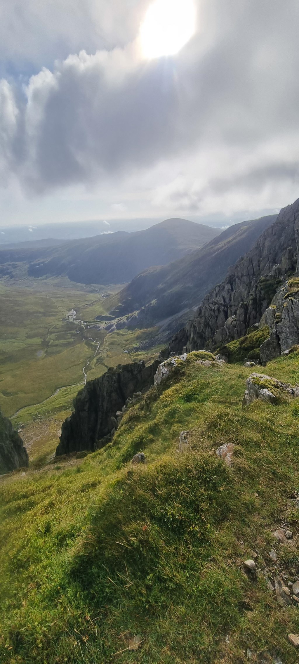
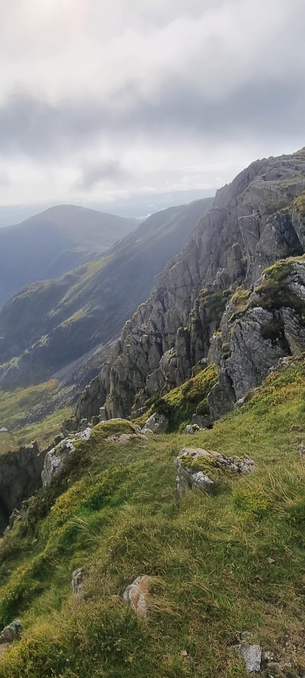
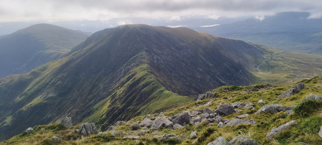
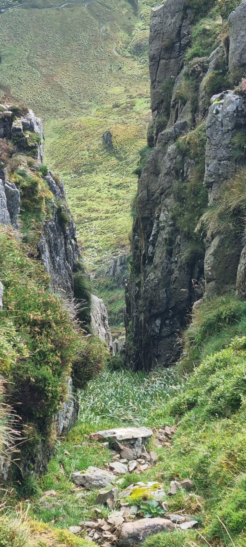
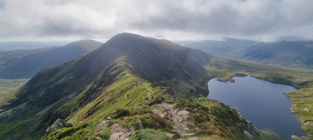
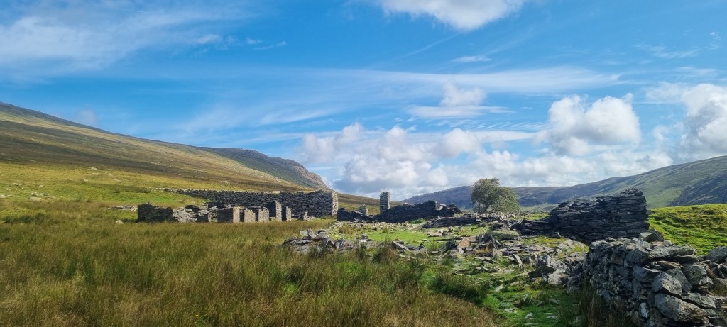
Woke up in the Foel Grach Shelter to much brighter but chillier conditions than the night before. There was even a cloud inversion which was amazing. I set off from Foel Grach to Carnedd Llewelyn at 1062 metre the highest peak in the Carneddau. I headed on to the Penywaun wen path and up to Bwlch eryl farchog ridge. I watched the shepards with their dogs rounding up the sheep and bringing them down the mountain for a while this was an amazing site to see. I also didn't want to get in their way and annoy them. I had a little scramble down to the ridge and then another scramble up Pen yr Helgu Du which with the dog and a heavy pack. It wasn't too difficult. We then took a shortcut straight down to the abandoned quarry below which entailed a fair bit of Heather bashing but a quicker route down I thought. I followed the river back to the reservoir and on to the car. The weather was closing in again that evening so decided to end the expedition early. I did plan for it to be another night and day but the weather was not on my side this week.
Area :
Carneddau
The Carneddau (lit. "the cairns"; Carneddau is a Welsh plural form, and is sometimes anglicised to Carnedds) are a group of mountains in Snowdonia, Wales. They include the largest contiguous areas of high ground (over 2,500 or 3,000 feet (910 m) high) in Wales and England, as well as six or seven of the highest peaks in the country—the Fourteen Peaks. The range also encloses a number of lakes such as Llyn Cowlyd and Llyn Eigiau, and the Aber Falls waterfalls. It is delimited by the Irish Sea to the north, the Conwy valley to the east, and by the A5 road from Betws-y-Coed to Bethesda to the south and west. The area covers nearly 200 square kilometres, about 10% of the area of Snowdonia.