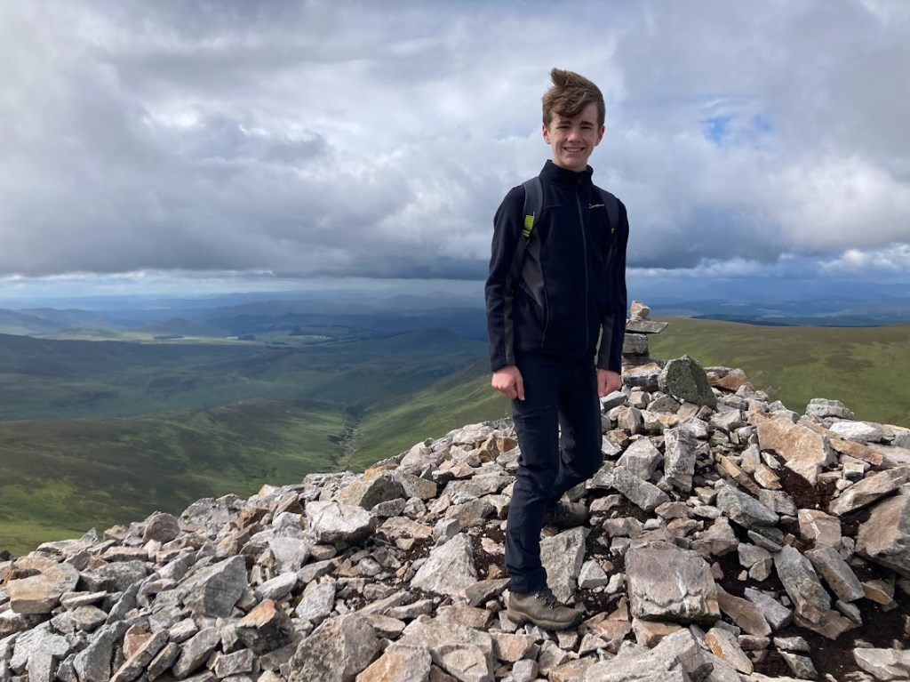
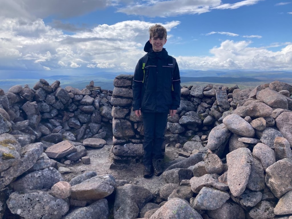
This route was born through the desire to reach the remote Corbett of Beinn Bhreac whilst also offering up a Munro to my son Ewan.
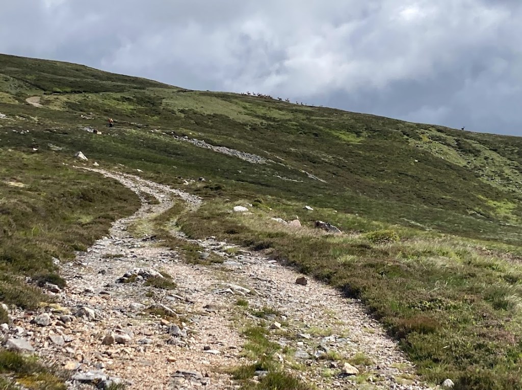
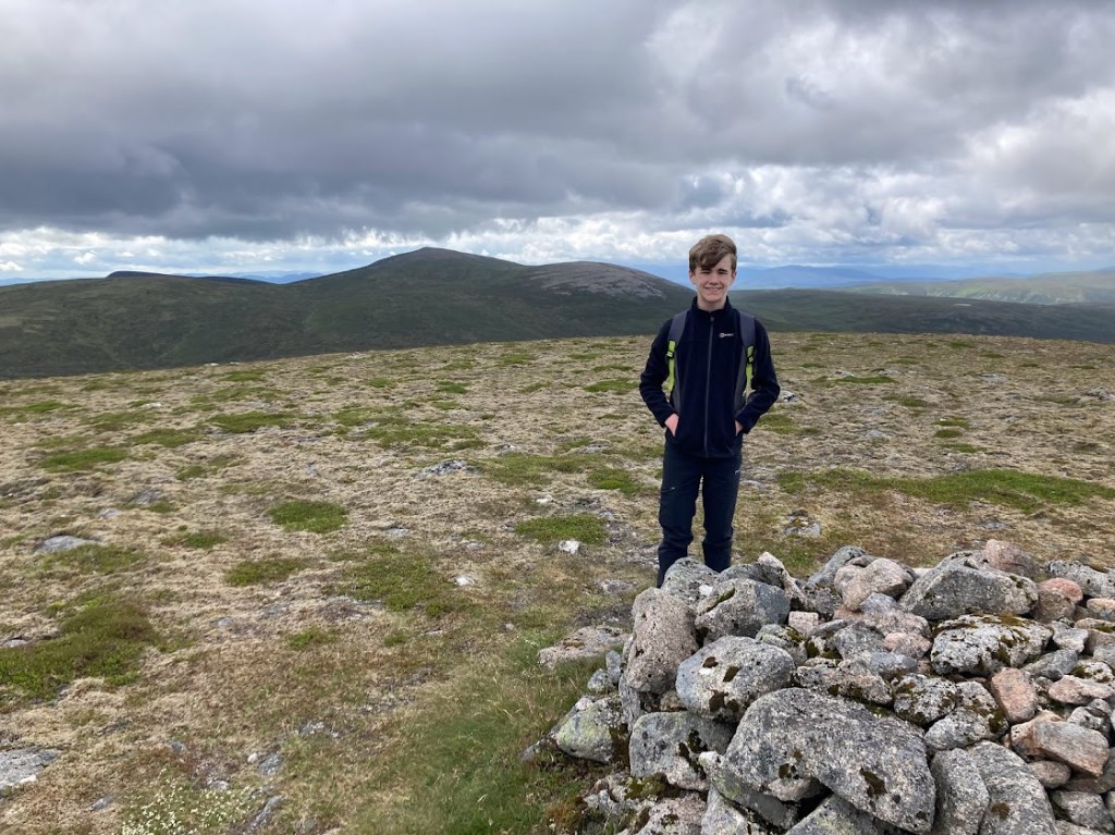
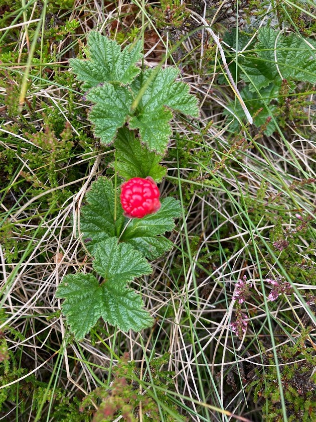
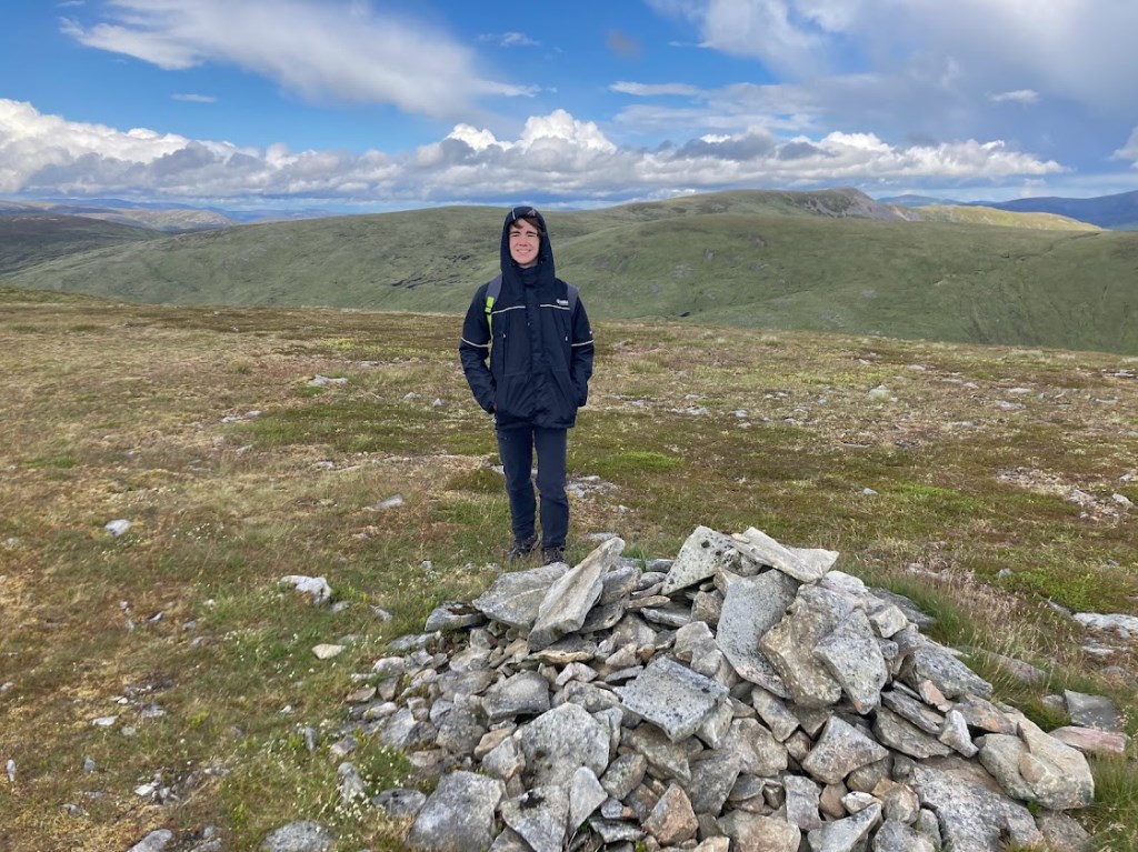
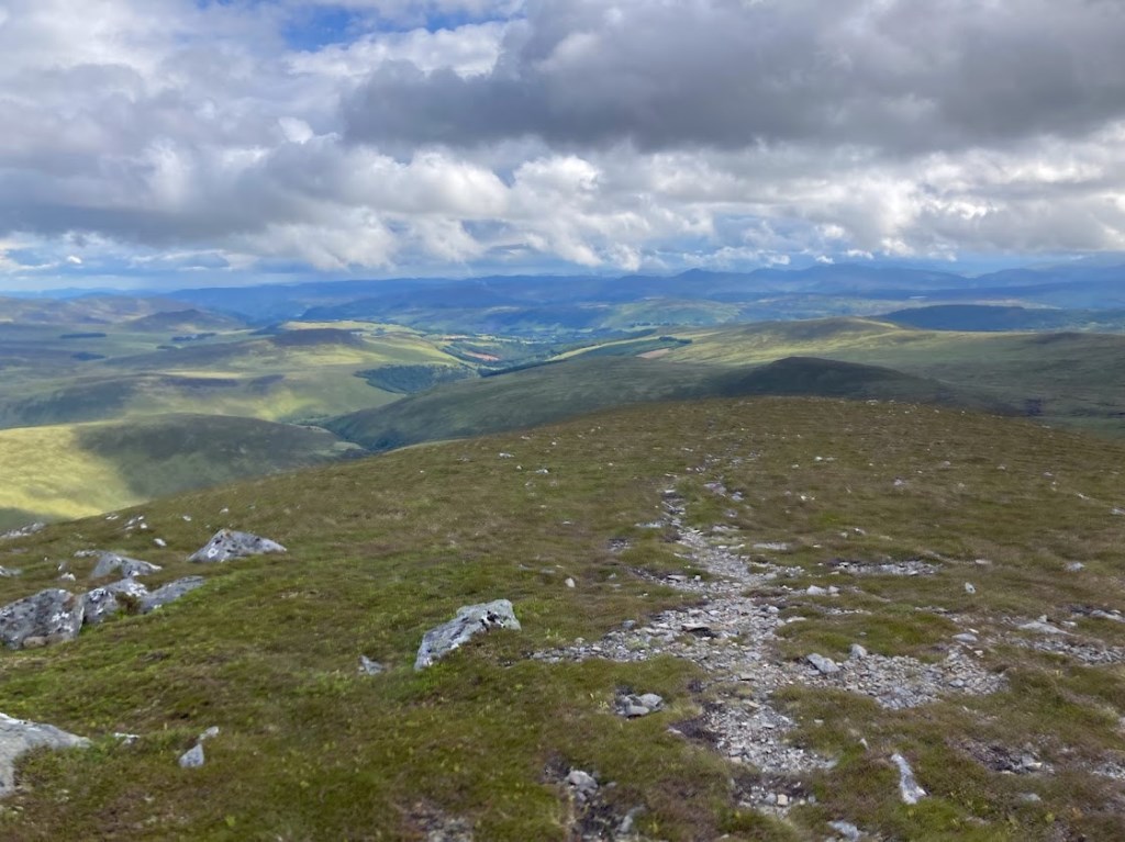
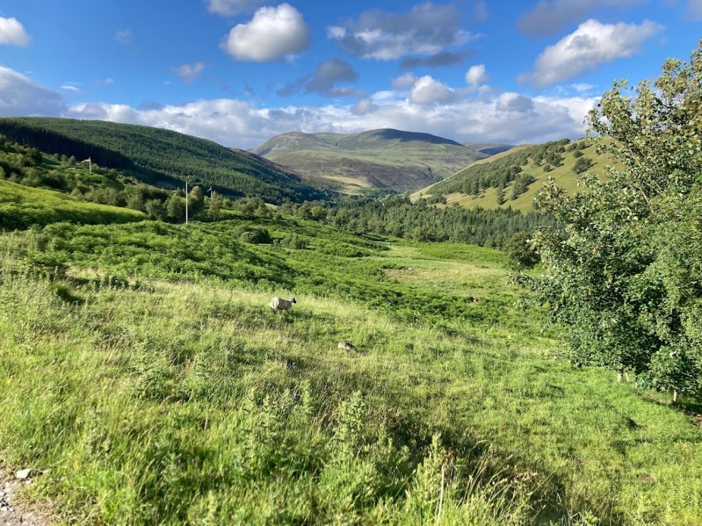
An early morning cycle up Glen Tilt before leaving the bikes at the small footbridge for where a path leads into Gleann Mhairc, this path would be our return route. Keeping on the north side of the River Tilt we followed a small path along the bank before rejoining the landrover track at the bridge just beyond Marble Lodge. From here it was very much landrover track to the summit of Carn a'Chlamain. From here we were very much cross-country, mostly grassy slopes higher up but as we dropped towards Loch Mhairc the wetter conditions got underfoot with some sizable peat hags to negotiate. As height started to be gained on Beinn Bhreac conditions changes to drier heather slopes and soon we were on the summit. Descending the southerly slopes initially aiming for the second Corbett of Beinn Mheadhonach we stumbled across a number of red berry plants for which I'd never noticed on the hills before, Cloudberry. A lunch stop having found a way across the upper reaches of the Tarf Water after which a decision was reached to avoid the wet boggy area of Loch Mhairc, instead we would aim for higher ground making a visit to the summit of Beinn Dearg before Beinn Mheadhonach. Fairly easy terrain to reach the summit of Beinn Dearg however a couple of heavy rain showers developed. Remaining on high ground we wandered through some tougher terrain the lower we dropped from Beinn Dearg again finding ourselves in deep heather and peat hags in and around the col between Elrig'in an Toisich and Carn a'Chiaraidh before a gentle stroll along the whaleback ridge up to the summit of Beinn Mheadhonach before following a small path down to the Allt Mhairc footbridge, a significant cairn and old ruined shieling noted at 500-600m as we descended for which the history remains unknown. From the footbridge a well worn path followed downstream to collect the bikes before the cycle back to the Tilt car park via the shooting range.
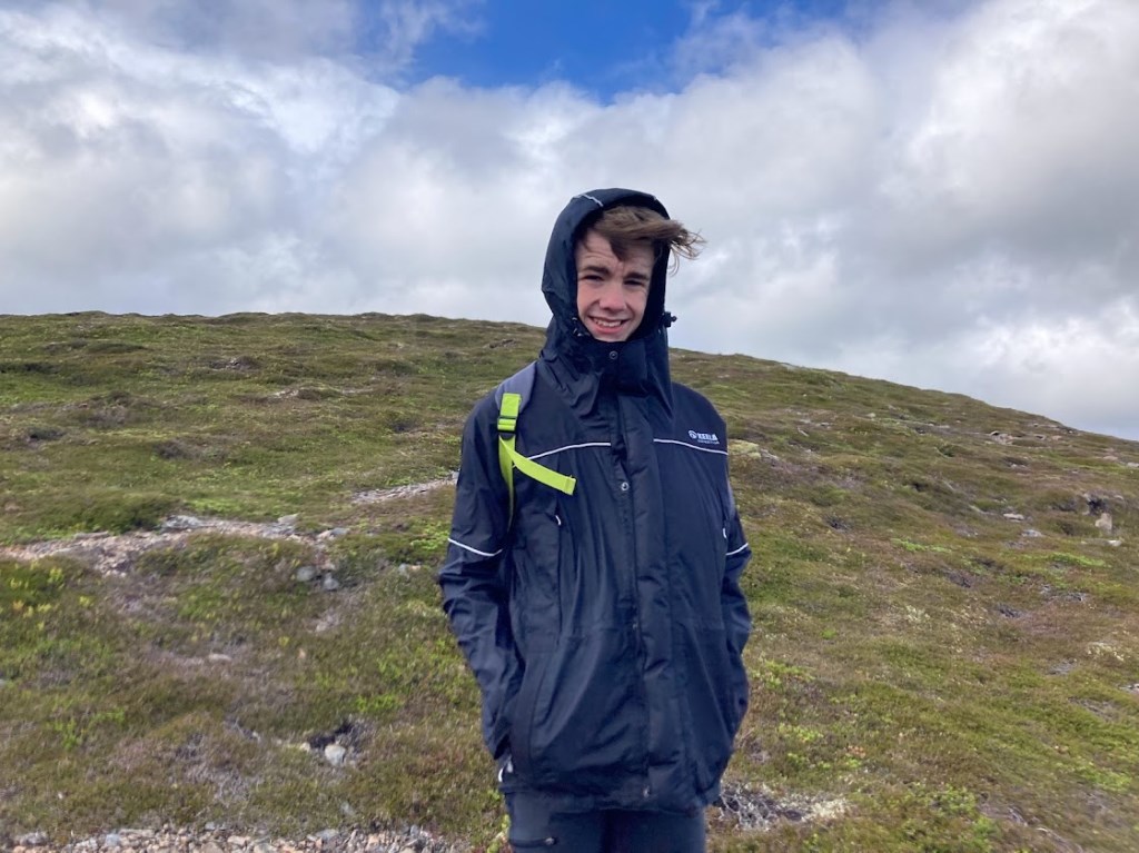
Very reasonable weather despite a couple of short but heavy outbursts near the summit of Beinn Dearg.
A great day out taking advantage of decent conditions and achieving more than originally planned.
Area :
Glen Tromie to Glen Tilt (Beinn Dearg)
This area includes the mountains in the Cairngorms National Park which lie between Glen Tromie in the west and Glen Tilt in the south of the park. The northern boundary is the River Feshie and to the south, the A9. There are four Munros in the area, the tallest being Beinn Dearg at 1008m, and the area is typically made up of peaty plateaux with the occasional pointy peak.