This area is listed in the SMC Munros Guide as ‘The Drumochter Hills) and covers the hills and mountains between Loch Rannoch and Newtonmore. Loch Ericht forms the western boundary and Glen Tromie the eastern boundary, with the Pass of Drumochter (the A9 and the Highland Main Line) dividing the area in two. Among the seven Munros in this area, only one is over 1000m (Beinn Udlamain is 1011m).


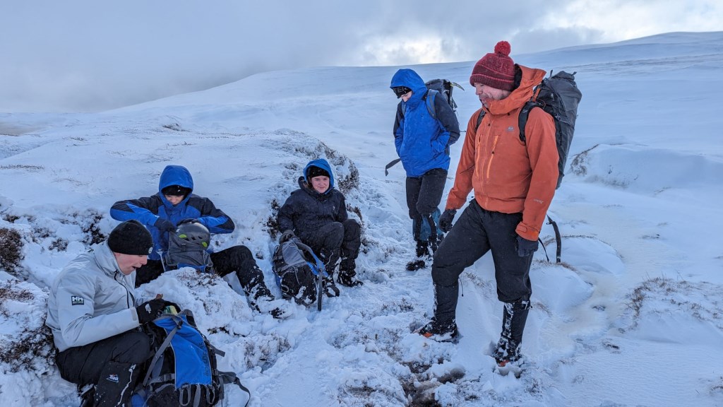
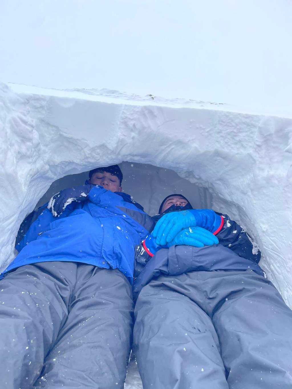
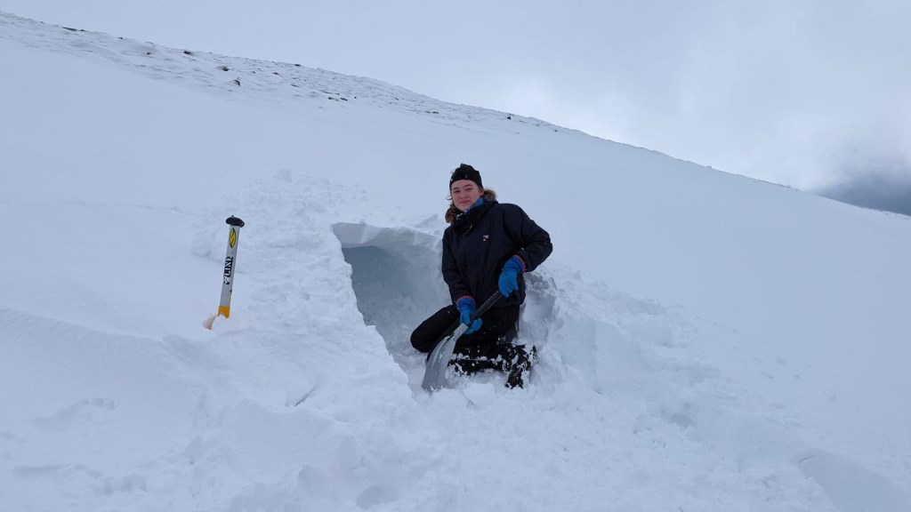
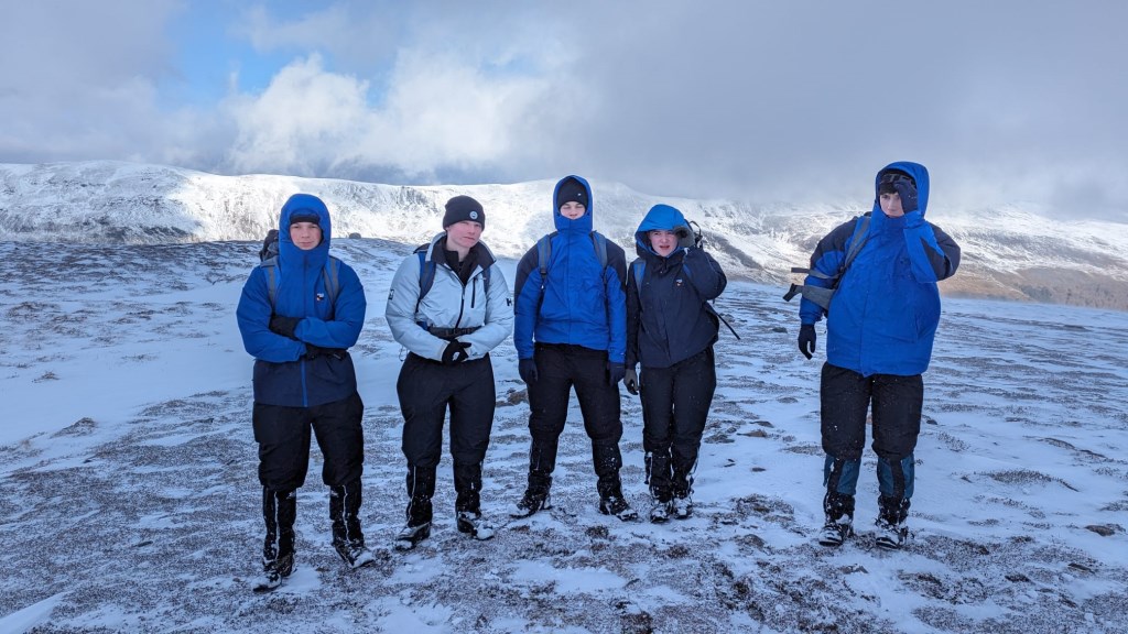
 Winter skills day with a school group of senior pupils (16-18). Had to scale back plans due to poor forecast and conditions were a bit challenging on the summit but a successful day was achieved.