Walk from West kirby train station to Thursaston, ending in Greasby -
-Start at West Kirby train station, consulting map and orienting myself as I go to each checkpoint I had jotted down on my maps the night before
-Navigated myself to the marine lake first, moderate winds blowing the water across the path but was still safe to continue
-End of the marine lake, looked at the map to orient me to my next point which was to stop by St Bridgets church. There has been remains of a church before St Bridgets since the Norman conquest. The first stone church being built around 1150. Inside the church there is a Norse 'hog back' stone which is meant to resemble a Norse long house in which the dead were to reside in the afterlife. The hogback stone is very rare as there are few recovered.
-After my stop at the church, I continued up to the main road and then followed the road through Caldy to Thursastion which was my main destination, using my map and compass to navigate myself to the sandstone 'Thor's rock' which allegedly was named by the Viking settlers here on the Wirral. There is also a trig point at the top of the hill with views across to Snowdon on a clear day and all across to Liverpool and further.
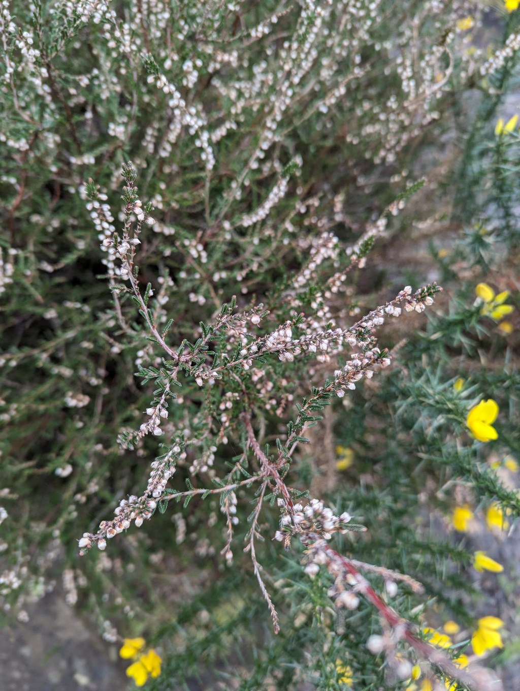
-I then descending through the heather and gorse to reach Royden Park which begins where it says Hillbark on the map
-I cut through Royden park, using my compass bearing to orient myself towards the right exit. Following the main road up to Greasby where I got public transport home