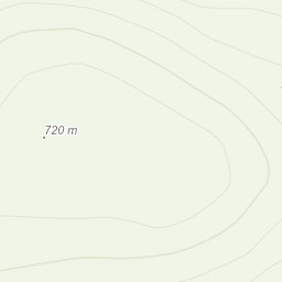
worked on a Gold DofE training for two days, today i was put in charge or a group and had to follow them for 2.5 hours ensured they didn't get lost and corrected them if they got lost which i prevented by asking them questions, we started on the harlech map, walked up and over and into nant mor then onto beddgelert, which i lead, went very well, was nice to have the pressure of having to get it right because of the group watching ect. very useful day.
Area :
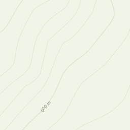
Rhinogydd
The Rhinogydd (a Welsh plural form, often anglicised as Rhinogs and also known by the alternative Welsh plural Rhinogau) are a range of mountains located east of Harlech in North Wales. The name Rhinogydd derives from the names of two of the more famous peaks, Rhinog Fawr and Rhinog Fach, although the greatest elevation in the range is reached by Y Llethr, 756 m.