David Blatcher - 134807
logs 165Awards Completed
 ML
ML
ML
ML
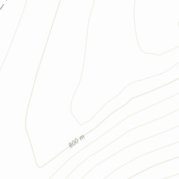
The Berwyn range (Welsh: Y Berwyn or Mynydd y Berwyn) is an isolated and sparsely populated area of moorland located in the north-east of Wales, roughly bounded by Llangollen in the north-east, Corwen in the north-west, Bala in the south-west, and Oswestry in the south-east.
 Two day hill-bagging walk with Candy. Parked by Pistyll Rhaeadr waterfall, up to Glan-hafon then clockwise around the c-shaped ridge with detour to include Cadair Bronwen. Set off in fine weather at 1300, good going to the first peak then became an increasingly slow trudge through rough, scrubby terrain as we headed E to the permissive footpath that runs up to Moel Sych. Camped by Llyn Lluncaws at 1930, tired! New pole tent held up well overnight in heavy rain which continued through the second day. Paths good on the hill on that second day, waterproof jacket held up well but trousers leaked and boots became sodden. Path connecting Cwm Maen Gwynedd and Cwm Blowty frustratingly blocked with a nailed-shut gate and overgrown forestry, had to make a way through adjacent tall gorse. Successful wild camping trip despite the wet and difficult route.