Mia Walker - 1428254
logs 211Awards Completed
 ML
ML
ML
ML
The Carneddau (lit. "the cairns"; Carneddau is a Welsh plural form, and is sometimes anglicised to Carnedds) are a group of mountains in Snowdonia, Wales. They include the largest contiguous areas of high ground (over 2,500 or 3,000 feet (910 m) high) in Wales and England, as well as six or seven of the highest peaks in the country—the Fourteen Peaks. The range also encloses a number of lakes such as Llyn Cowlyd and Llyn Eigiau, and the Aber Falls waterfalls. It is delimited by the Irish Sea to the north, the Conwy valley to the east, and by the A5 road from Betws-y-Coed to Bethesda to the south and west. The area covers nearly 200 square kilometres, about 10% of the area of Snowdonia.
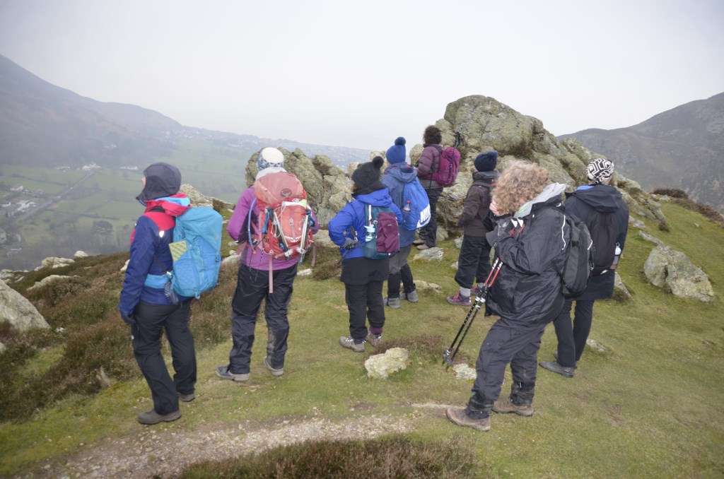
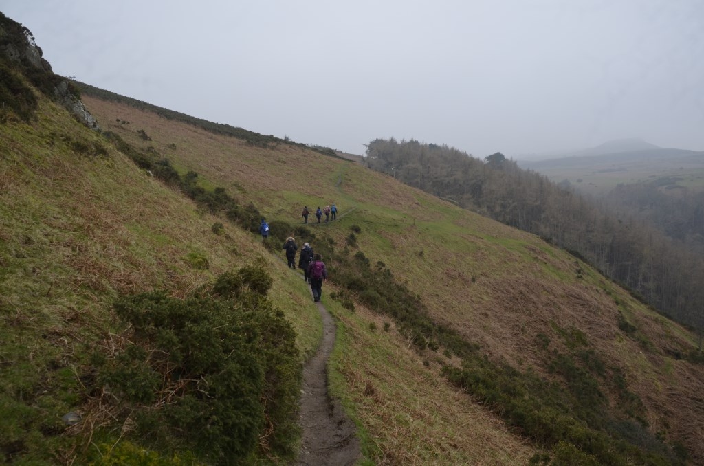
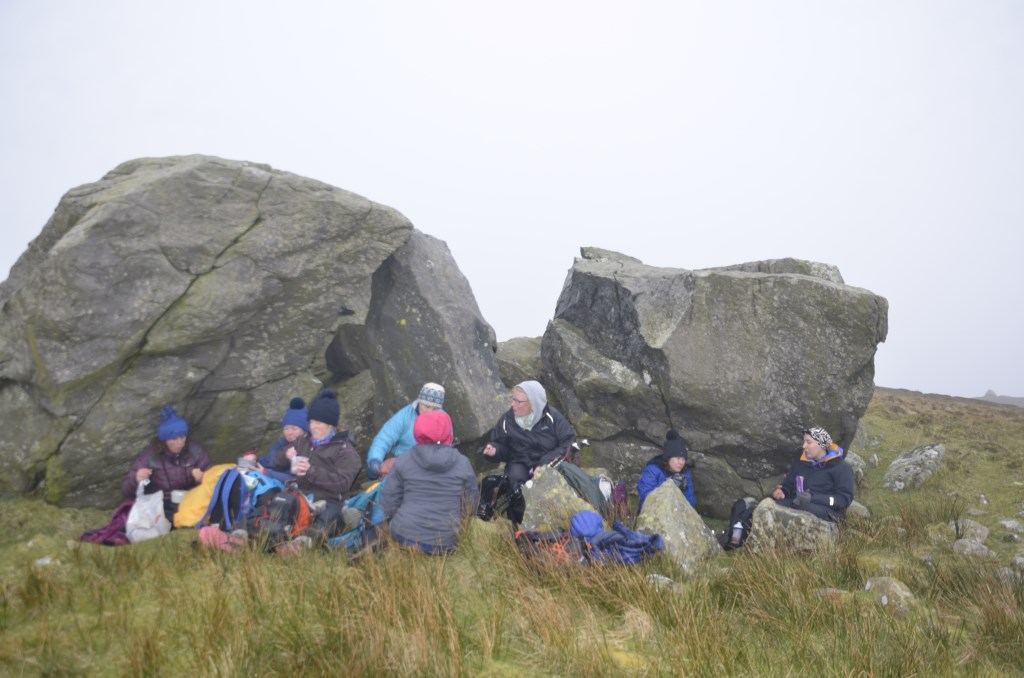
 Led group of 10 women on a walking workshop, Leading from the Feminine. Fairly high winds forecast so I arrived an hour early to recce the first part of the walk, which was on a narrow path with steep bracken slope below it. Recce confirmed my reading of the forecast, i.e. that this slope would be sheltered.