David Blatcher - 134807
logs 165Awards Completed
 ML
ML
ML
ML
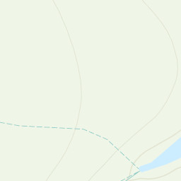
The Black Mountains (Welsh: Y Mynyddoedd Duon) are a group of hills spread across parts of Powys and Monmouthshire in southeast Wales, and extending across the national border into Herefordshire, England. They are the easternmost of the four ranges of hills that comprise the Brecon Beacons National Park, and are frequently confused with the westernmost, which is known as the Black Mountain. To confuse matters further, there is a peak in the Black Mountains called Black Mountain.
 Route scouting for a Ramblers' walk planned for July. Based on my old label 'great ridge walk' pencilled onto the OS map from some time ago. Parked at Blaen-y-cwm, headed up the valley past the reservoir and bothy, turned right at the edge of the Norther Escarpment. Hazy but still good views to the north. Followed ridge back to the S after Rhos Dirion trig. Extended planned route slightly to make the best of the Chwarel y Fan ridge, then spent a little time finding the best way down from this (double back part way and head down via the forestry track). Enjoyable solo walk on a cold but dry early February day.