This area is listed in the SMC Munros Guide as ‘The Drumochter Hills) and covers the hills and mountains between Loch Rannoch and Newtonmore. Loch Ericht forms the western boundary and Glen Tromie the eastern boundary, with the Pass of Drumochter (the A9 and the Highland Main Line) dividing the area in two. Among the seven Munros in this area, only one is over 1000m (Beinn Udlamain is 1011m).


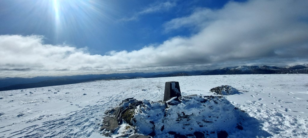
 Loop of Coire Dhomhain in the Pass of Drumochter. Ascended Sgairneach Mhor by east rib, into the col towards Udalmain. Returned by the North Ridge. Fairly unremarkable route. Snow level down to 800m, crampons worn on grassy descent off Sgairneach Mhor and A'Mharconaich.