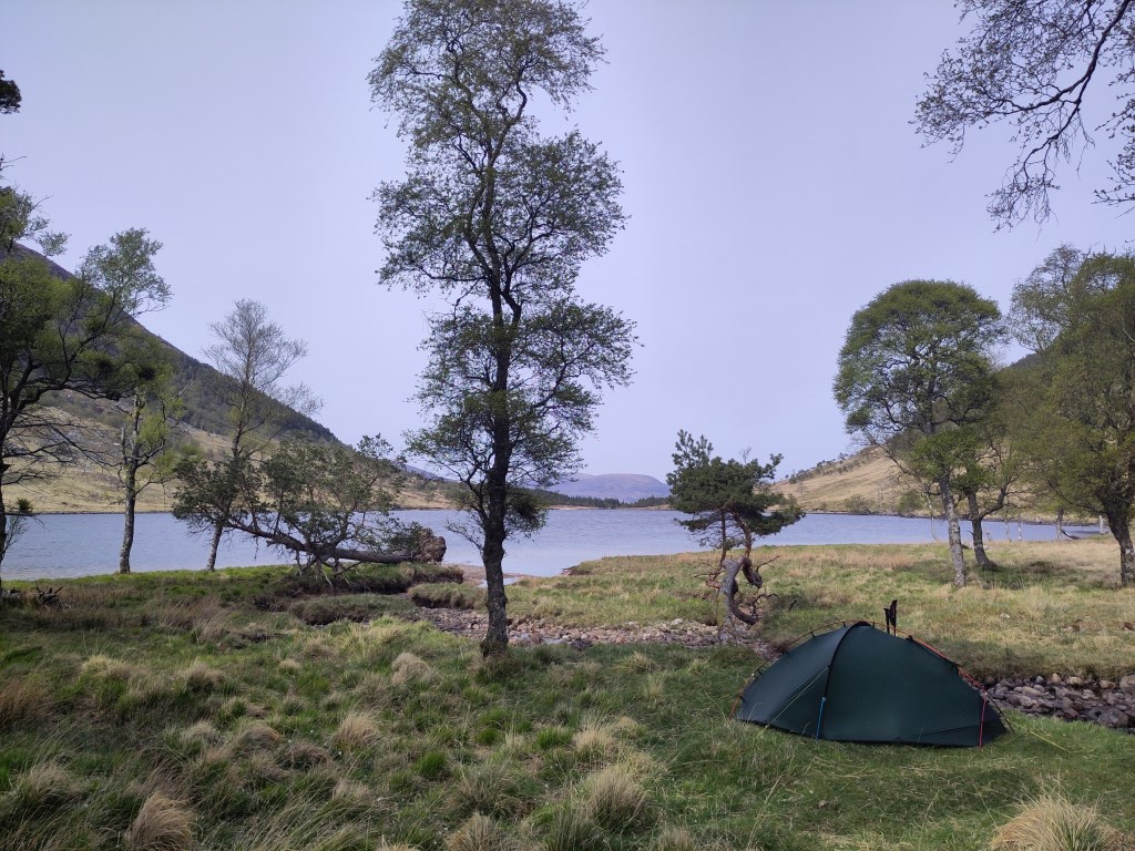
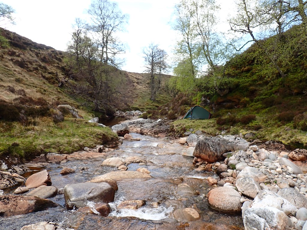
In light of the recent news that the Lochan na h-Earba pumped storage hudro had been given consent to proceed by the Scottish Governement I felt a visit was in order. Starting from the train station at Dalwhinnie I headed up The Fara to camp on the first night. Despite the recent dry conditions the water I remembered was still there around the head of Coire na Ceardach with excellent views down Loch Ericht. In the morning I dropped off the end of The Fara to join the track round Loch Pattack to find the stalkers path by Loch a' Bhealaich Leamhain which will form the top reservoir for the power station. The two munros of Creag Pitridh and Gael Charn formed minor diversions on the descent to the downstream of the two Lochan na h-Earba, camping on the little wooded peninsular half way along its south bank. The return to catch the train included a camp in the secluded River Mashie gorge.
Area :
Ben Alder (Loch Treig To Loch Ericht)
Often referred to as the Central Highlands, this area covers the mountains between Loch Treig, Loch Ericht and Loch Laggan. Access is commonly from the A86 or the Corrour Halt stop on the West Highland Railway. An impressive fourteen Munros are scattered across this area (four of which are over 1100m), and included in the mountains list are all of the peaks above 600m. Ben Alder is often thought of as one of the more remote mountains in Scotland and its vast high plateau sits in contrast to the ridge created by Beinn Bheoil. Peaks to the east of Loch Ericht are listed in the East Highlands region.