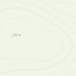
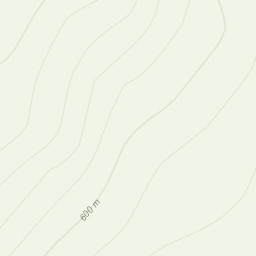
So car was in the dgarage again and I didn`t think I`d manage to get out but luckily the guy I`ve been walking with this week was still around and offered to pick me up. So off we went to the Rhinog`s! After parking up there was a bit of a walk in to the start of the walk. Once we got a bit further on we had a look at the map and decided to take in Y Llethr first before hitting the top of Rhinog Fach. Getting to the top of Y Llethr was a bit of a slog. A long constant 30 degree angle up. around 3/4 of the way up we hit very thick cloud and clag so started to really concentrate on the nav. Worked on handrailing and contour lines. Stopped just below the summit out of the wind for lunch. Once at the top we looked at bearings and timings. We took ourselves along the bearing to a wall join and instead of dropping to a path to the left we decided to carry on along the wall. Bit of a mistake there really. we hadn`t looked at the map properly and hadn`t realised just how steep a drop off it was down to the Llyn so we made our way scrambling down the laft hand side and picked up the path to Rhinog Fach. Getting off the top required some micro nav as the clag was really in and we could only see maybe 60-100m infront.
Finally got down into the valley and made our way back to the car.
Area :
Rhinogydd
The Rhinogydd (a Welsh plural form, often anglicised as Rhinogs and also known by the alternative Welsh plural Rhinogau) are a range of mountains located east of Harlech in North Wales. The name Rhinogydd derives from the names of two of the more famous peaks, Rhinog Fawr and Rhinog Fach, although the greatest elevation in the range is reached by Y Llethr, 756 m.