Firth of Forth to the River Tweed
Please add the email address of the friend you wish to tag in your logbook record. This will only work for existing candidates. This will send an email to your friend, once they accept your request they will appear on this logbook entry.
Are you sure?


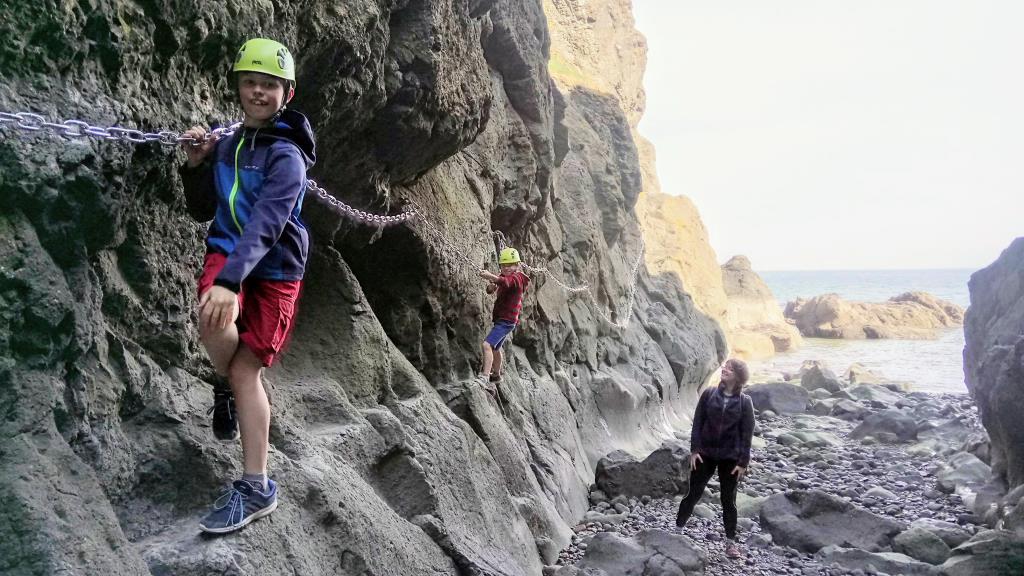
 Automatically created from a GPX file - Afternoon_Chain_Walk.gpx
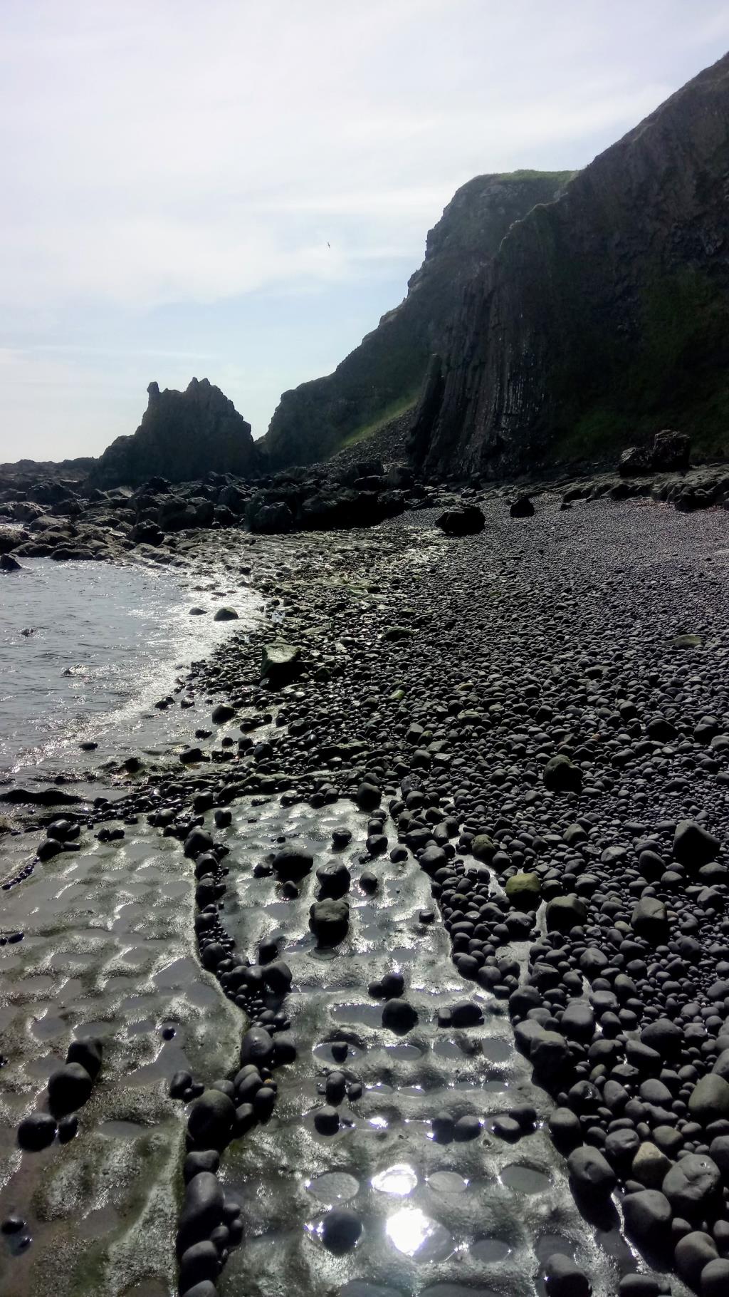