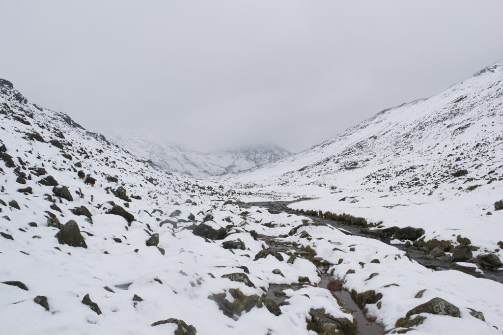
I set off from Seathwaite and headed up via Greenhow Knott and Styhead Gill to Styhead Tarn. From here I headed to NY226093 in the hope of reaching Allen Crags, however the snow became too soft and deep, so I turned around and came back the way I'd headed up. There was a lot of ice, crampons were worn and visibility was moderate to good. I was only the second person to have ventured up there that morning so finding the actual path was difficult. I didn't use a GPS, just my paper map.
Area :
Western Fells
From Crummock Water and Buttermere in the north as far south as the river Esk.