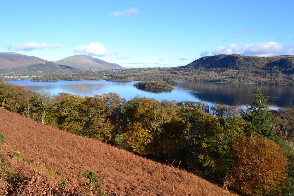
Beginning from the small car park at NY246212 I headed along the bridleway which runs on the East side of Skelgill Bank and Catbells. It is a popular walk and the footpath was easy to walk along and follow. I joined the road at Manesty and headed North East along the Cumbria Way to Great Bay. Here I turned North and followed the lake shore to Hawes End, where I headed South a little way to rejoin the road to Skelgill. Visibility was very good, there were no icy patches or other hazards to watch out for.
Area :
North Western Fells
Essentially this area is encompassed by Lakes of Bassenthwaite, Derwent Water, Buttermere and Crummock Water with the southern boundary being the Honister Pass