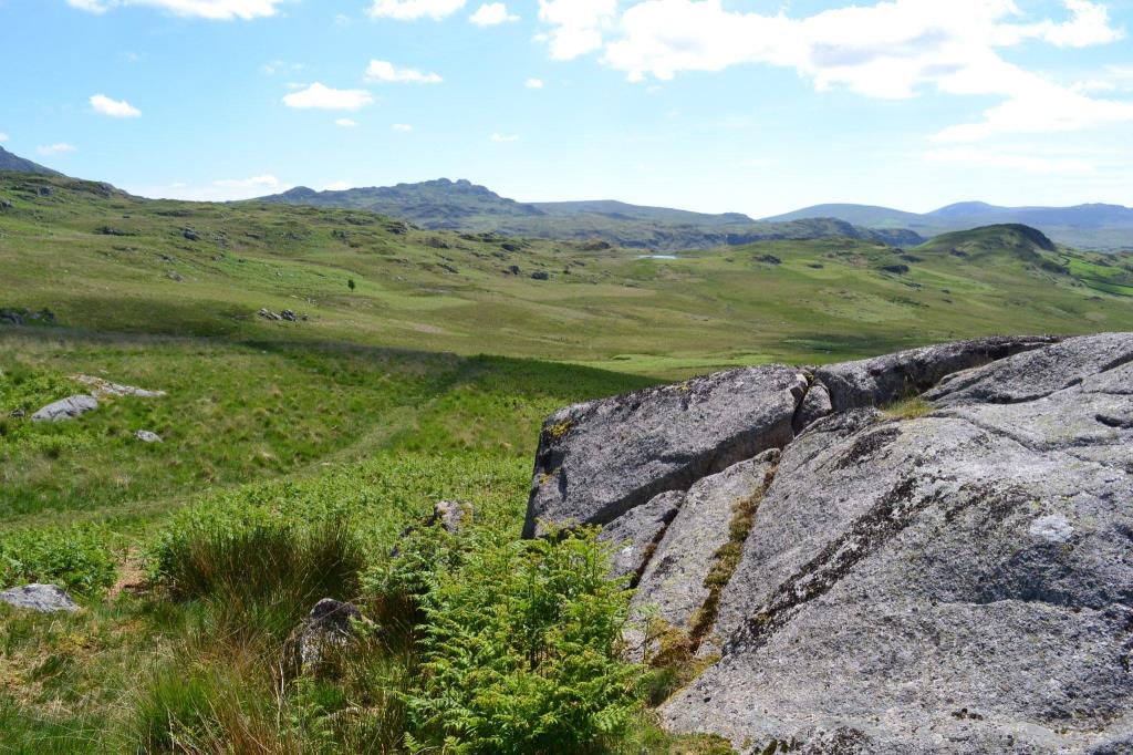
It was a glorious sunny day so I took the opportunity to have a day out to Eskdale! I parked at Ravenglass and took la’ll Ratty to Dalegarth Station. It is an area I haven’t visited for a number of years so I was rather excited! With a big grin stuck to my face, I left the train and walked along the road to Boot. Passing Eskdale Mill I headed NE along the old corpse road to Burnmoor Tarn. The path here turned quite boggy in places, and there were several paths to choose from to the NW of the Tarn. I navigated to a stile located in the wall which heads up Illgill Head. Crossing this, I noted young Highland cattle in the field. I navigated across pathless terrain to a cairn at NY175057. I had lunch here, overlooking the awesome valley of Wasdale. Afterwards I headed back to Burnmoor Tarn and crossed Lambford Bridge. I followed a footpath in the direction of Eel Tarn, closely followed by a ewe and her offspring. The path vanished quite suddenly in an area of boggy ground, so I navigated carefully over to the Tarn. It was very warm by this time and after a pause for drinks and a snack I walked down a well worn path beneath Little Pie to Hows, where I rejoined the road to Boot and Dalegarth station, where I was just in time to catch the train back to Ravenglass. A lovely walk!
Area :
Western Fells
The Western Fells form the southern wall of the Buttermere valley and the northern fence of Wasdale. Between the two lies Ennerdale so that in effect the group is the shape of a single horseshoe, each branch about 10 miles in length.
At the head of Ennerdale stands Great Gable. The southern arc of the group travels due west from Great Gable, the main ridge consisting of Kirk Fell, Pillar, Scoat Fell, Haycock and Caw Fell.