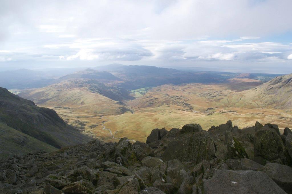
This was an overcast day and very windy on the summit. Views were hazy but good. I set off from the car park at Dungeon Ghyll (NY286061), and headed West to the farm at Stool End. I continued up the rugged path to The Band, which is my favourite route up these fells. I continued, observing sheep on the fellside at Earing Crag. When I reached Three Tarns at NY248061 I turned North and scrambled up the steep path to the rocky summit of Bowfell 902m). The wind was very strong at this point so I didn’t hang around! At least I could see a view this time, unlike a previous occasion when there was thick fog! I took some photographs then headed back down to Three Tarns, finding shelter amongst the boulders for lunch. Here, I saw a red deer running across the fellside. I headed back to the Langdale Valley via the same route across The Band.
Area :
Central Fells
The Vale of Keswick, provides separation from the Northern Fells whilst to the west runs the long valley of Borrowdale. The parallel eastern boundary is created by Thirlmere and the St Johns in the Vale. Grasmere to Windermere forms the remainder of the eastern boundary. In the west, Stake Pass descends into Great Langdale.