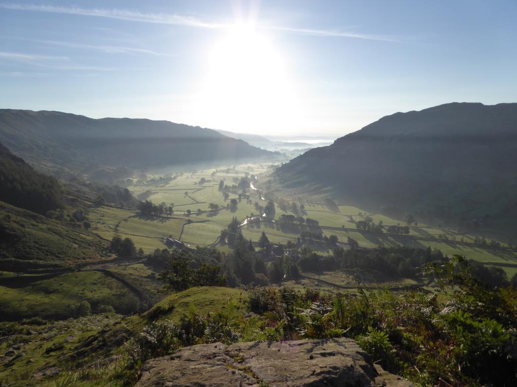
I began this walk from the National Trust car park at NY296064. I headed North along a well trodden path to Dungeon Ghyll Force and, rather than taking the more popular path up Mark Gate to Loft Crag, I decided to head up a less popular path by Thorn Crag. I very much enjoyed the walk especially at the top as it was a 'proper' mountain path! There were some lovely views of the sunrise that morning and I stopped to take many pictures. Once at the summit I had a walk over to Loft Crag and Pike of Stickle before heading East to Harrison Stickle, where I had lunch overlooking Stickle Tarn. I continued NE to Pavey Ark then headed North, down the steep and in places quite tricky path to Stickle Tarn. It actually became quite hot by this time so I was glad to head down, passing many people who had only just set off and were on their way up the hill. I followed the 'tourist' path beside Stickle Ghyll, noting the many beautiful waterfalls along the way, and headed back to the car.
Area :
Central Fells
The Vale of Keswick, provides separation from the Northern Fells whilst to the west runs the long valley of Borrowdale. The parallel eastern boundary is created by Thirlmere and the St Johns in the Vale. Grasmere to Windermere forms the remainder of the eastern boundary. In the west, Stake Pass descends into Great Langdale.