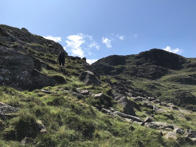
We began our walk from Seatoller National Trust car park and progressed along the road Eastwards to Strands Bridge. We headed South here to a gate which dog-legged back to a path heading East to Old Mill Cottage. The water company had carved a giant track leading from the valley up through the old birch woodland to Combe Gill. We followed this until we reached a waterfall beyond a wall then crossed the river and headed up off the path to the point marked 'R' on the map in Rottenstone Gill. We found some Sundew along the way. We continued up the Gill for around 70m before joining a footpath to Tarn at Leaves. From here we cut South across pathless terrain to Rosthwaite Fell and Great Hollow before making our way across the boggy moorland to an unnamed tarn. We continued South then West to Coombe Doore and Combe Head before joining a well defined path Northwards to Thornythwaite Fell and back down to Combe Gill, retracing our steps from here back to the car park.
Area :
North Western Fells
Essentially this area is encompassed by Lakes of Bassenthwaite, Derwent Water, Buttermere and Crummock Water with the southern boundary being the Honister Pass