The plan was for a lovely day in the Glyderau , unfortunately the weather turned pretty nasty when up on the top of Glyder Fach, this made route finding along the technical broken rocky ground between Glyder Fach and to the summit of Glyder Fawr pretty tricky the way finding around Castell y gwynt was awkward and slippy rock slowed progress, a brief clearing of the cloud made the route finding from the summit of Glyder Fawr a bit easier as i could find the main trodden route down towards Llyn y Cwn at this point we were below the cloud line and finding our way to then decend in to devils kitchen was fairly straight forward although we were in increasingly heavy rain ,we had little difficulty finishing off our day.
It was a good lesson in being prepared for any weather, despite a good forecast, we still had all the necessary waterproof clothing to keep the weather out and us warm and dry for the hours remaining in the day from when the weather changed.
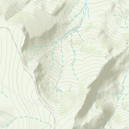
Automatically created from a GPX file - Wetter_than_advertised_hike_in_the_Glyderau.gpx
Area :
Glyderau
The Glyderau (a Welsh plural form, also known in English as the Glyders) are a mountain group in Snowdonia, North Wales. The name derives from the highest peaks in the range, Glyder Fawr and Glyder Fach. According to Sir Ifor Williams, the word "Glyder" derives from the Welsh word "Cludair", meaning a heap of stones.