Beinn Udlamain and Sgairneach Mhor
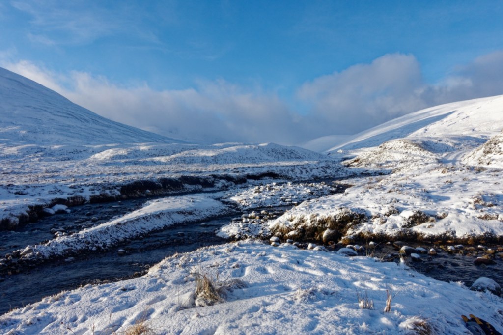
Starting as a sunny day the clouds soon came in and visibility reduced to around 80m. Trudging through powder along the track to our planned accent point to Beinn Udlamain summit we decided to alter paths and ascend on a Southerly aspect which was more scoured, so easier underfoot and also seemed less loaded than the original route looked without gully terrain traps. This added a few kilometres to our route once at the top. Visibility closed in dramatically to <5m and high winds and soft snow lead to arduous walking along the ridge-lines to the summit. Our Southerly decent was equally unpleasant with snow buffeting from the West. Visibility increased slightly to around 10m on second ascent to Sgairneach Mhor which required careful terrain sensing to keep away from the edges and steep sides. Finally a further unpleasant wade down the ridgeway to the home-straight just as the light faded. Tough, yet rewarding - photos only picture the pleasant moments!
Area :
Loch Rannoch to Newtonmore (Beinn Udlamain)
This area is listed in the SMC Munros Guide as ‘The Drumochter Hills) and covers the hills and mountains between Loch Rannoch and Newtonmore. Loch Ericht forms the western boundary and Glen Tromie the eastern boundary, with the Pass of Drumochter (the A9 and the Highland Main Line) dividing the area in two. Among the seven Munros in this area, only one is over 1000m (Beinn Udlamain is 1011m).