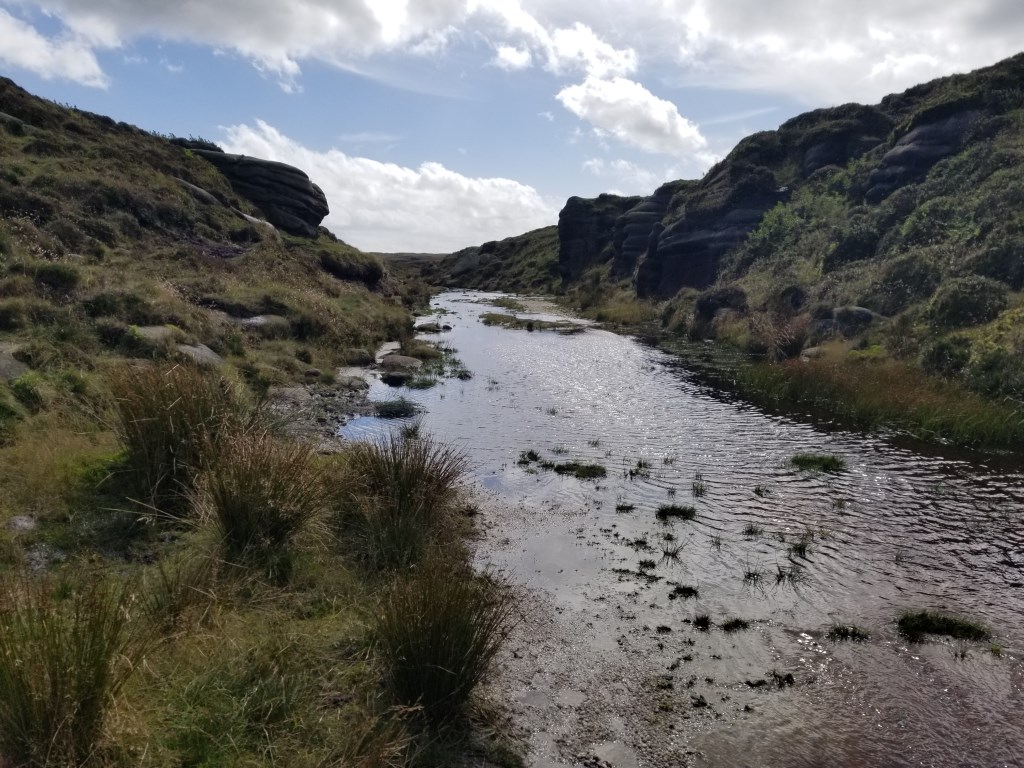
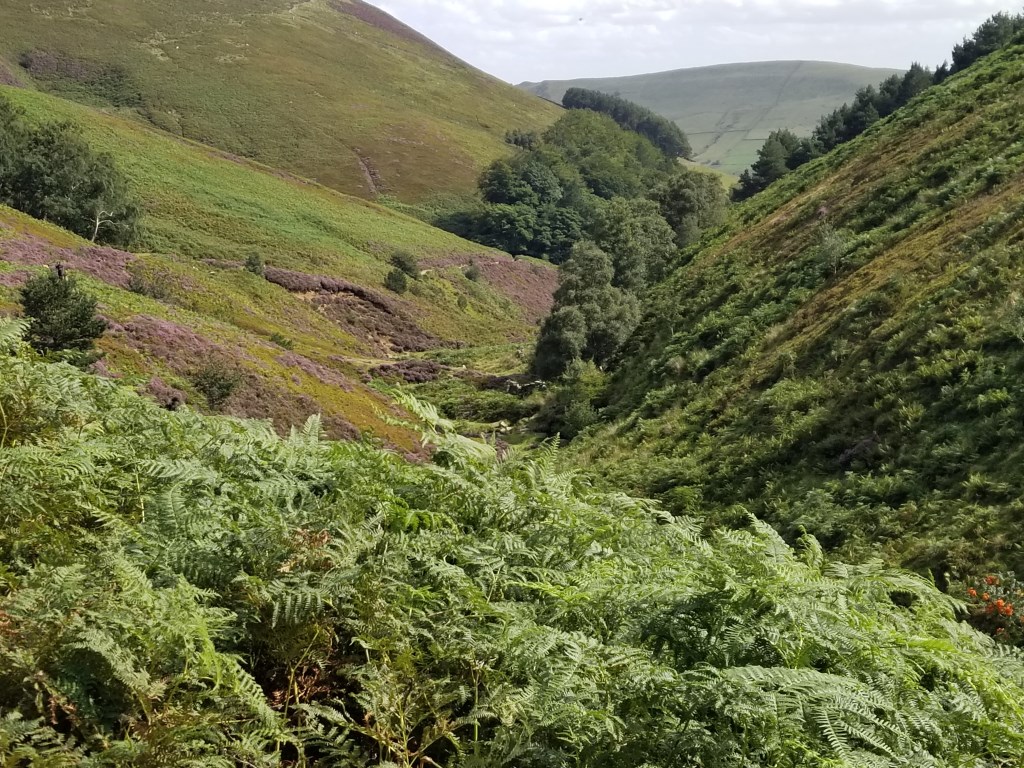
Edale: Started from the Penny Pot Cafe; took the Pennine Way path west to Lee Farm and then up Jacobs Ladder, to Edale Rocks, Kinder Low (633m), Kinder Downfall, the western most Triangulation Pillar (624m) on Kinder Scout (for which there is no path - SK07698/89374). I took a bearing from the Pennine Way path due North from a point I estimated would lead directly to the Trig Pillar (It was not visible over the hill. Ran directly into the pillar on the bearing. Back to Kinder Downfall and the trail to the Northeast, turning to Southeast to Kinder Gates. Crossing the moor was a bit treacherous under foot from Kinder Gates/Crowden Head (632m) as the path disappeared into a maze of deep groughs. I became a piped Piper of sorts, as there were many people, most in family groups, that seemed lost and were standing around trying to figure out where to go to get past the groughs and pick up a trail again. I was moving through quickly. Noting that the trail was vanishing into the maze of groughs I took a bearing to Pym Chair Rocks on the map and kept moving, though I could not make a straight line because of the deep groughs and wet boggy earth. I kept the bearing, and when I looked back they were all following me. It was windy and chilly. Many of the family groups were in shorts and T-shirts. Not a compass among them. From Pym Chair I turned East along the edges to Grindslow Knoll (601m), then to the head of Grindslow Clough, scrambling over the rocks down the Grindslow Clough, and back to Edale, ending at The Old Nags Head. Total Time: 5 hours 46 minutes; Total Distance: 12.96 miles/20.27 km; Total Elevation Gain: 2,405 ft.
Area :
Dark Peak
Is situated between Sheffield and Manchester. The underlying rock is Millstone grit which is often exposed at the edge of the higher peat bogs for which the area is famous.